IHO Crowdsourced Bathymetry Initiative
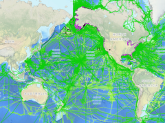
The International Hydrographic Organization (IHO) has a long history of encouraging the collection of crowdsourced depth data to help improve humanity’s understanding of the shape and depth of the seafloor. For over a century, maps of the ocean floor were created from depth measurements collected by vessels as they journeyed across the oceans. These “passage soundings” enabled the creation of progressively more detailed seafloor maps and digital data grids. Recently, systematic surveys with specialized ships have contributed to greatly increasing available data. Unfortunately, despite the multitude of data that has been collected, to this day only 25% of the world’s ocean depths have been measured; the rest of the data used to compile seafloor maps are estimated depths.
In 2014, the IHO proposed an initiative to improve the collection, quality and availability of hydrographic data worldwide, which resulted in the creation of the Crowdsourced Bathymetry Working Group (CSBWG).
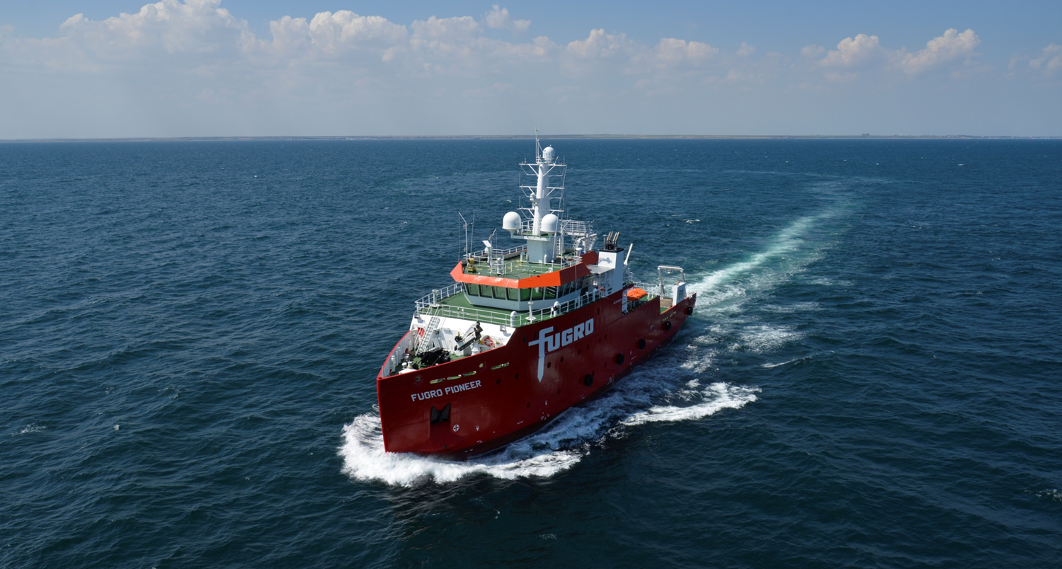
Individual national, regional, and international CSB projects and activities have been implemented over the years, all with their own individual characteristics and importantly ‘crowds’. This includes vessels from the yachting industry, fishers, cruise ships, shipping, research etc. Participation from a broad range of vessels is critical.
The modern incarnation of the ‘IHO CSB Initiative’ is therefore a central hub of standardization, policy and technical guidance -coordinated and administered by the CSB Working Group - into which these various CSB projects feed into and/or draw from.

This federated approach means that CSB as a concept is standardized, whilst individual CSB activities can be tailored to the needs of a specific crowd.
The CSBWG has issued best practices for collecting and contributing crowdsourced depth data: IHO Guidance on Crowdsourced Bathymetry - B-12.
The practical application of B-12 is also fundamental for the conduct of the collaborative Nippon Foundation GEBCO Seabed 2030 Project. As part of the project, simple data loggers are provided to local vessels operating near shore. Aiming to bring together all available bathymetric data to produce the definitive map of the world ocean floor by 2030 and make it available to this project is in full compliance with the targets of the GEBCO Programme.


Share this page: