Search results
There are 939 results for “capitulo 1 docx” in All
Cartas Circulares 2022
IHO and CIESM renew their cooperation
IHO and CIESM have renewed their Scientific Cooperation Agreement for the next 4 years. This will provide a framework for active cooperation between the two intergovernmental organizations dedicated to marine science.
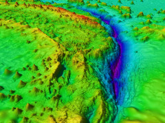
Participants in GEBCO week discuss seafloor mapping and knowledge of the oceans
Over 600 participants from 80 countries gathered online as part of the GEBCO Week to discuss initiatives to map the seafloor and increase our knowledge of the oceans.
NIPWG eNAVMSP
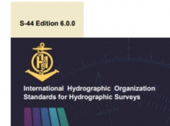
IHO releases new standards for hydrographic surveys
The IHO released earlier this month a new edition of the Standards for Hydrographic surveys (S-44). In addition to surveys to support the safety of navigation, these standards can be adapted for oil and gas, renewable energies, dredging, geophysics, and geotechnics.
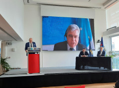
Audience with HSH Prince Albert II & priorities for the new Directing Committee
The new IHO Directing Committee was presented to HSH Prince Albert II of Monaco on Tuesday September 8th 2020.