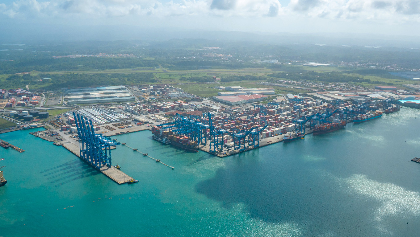
Major Flag State Joins the International Hydrographic Organization
The global hydrographic community expanded in January 2026 with the accession of Panama to the International Hydrographic Organization (IHO), marking a significant milestone for international maritime cooperation. As one of the world’s major flag states and a strategic hub for global shipping, Panama’s membership is expected to strengthen hydrographic capacity and standards worldwide.
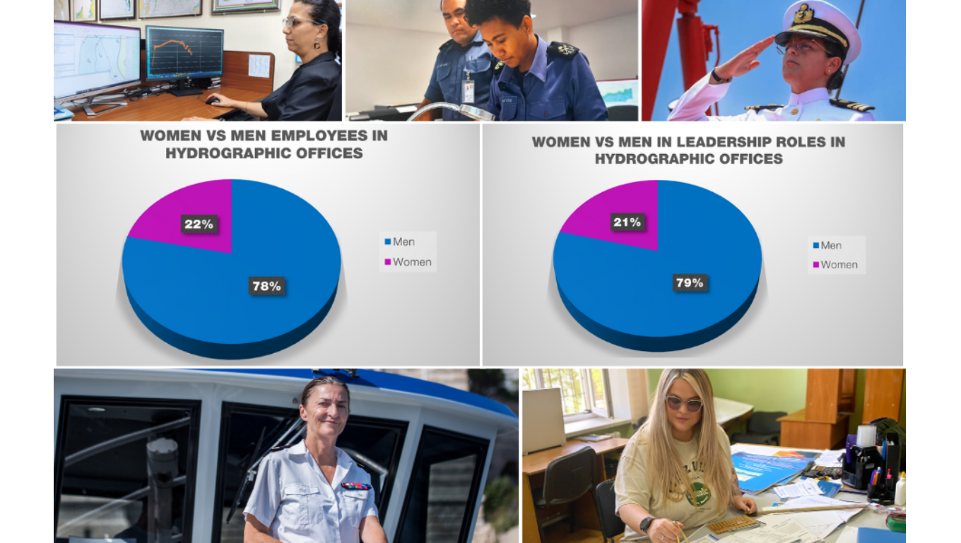
Women in Hydrography: New Data Reveal Gains in Leadership, Gaps in Workforce Representation
The latest data on the number of men and women working in hydrography have been released. With 51 IHO Member States answering the EWH 2025 survey, the results reveal advancements in some areas but also challenges.
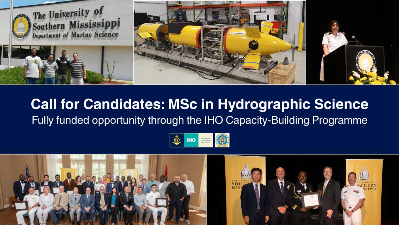
Nominations Open for the MSc in Hydrographic Science
The IHO Secretariat has issued a call for candidates to participate in the Category "A" MSc in Hydrographic Science at the University of Southern Mississippi (USM) as part of the IHO Capacity-Building Programme. Nominations for the 14th cohort of the FIG/IHO/ICA recognized course should be sent by 11 January of 2026.
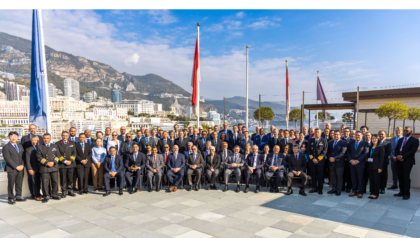
Member States Gather in Monaco for the IHO Council Meeting
Delegations representing Member States of the International Hydrographic Organization (IHO) convened in Monaco last week for the annual meeting of the Council.
Participants from 30 Member States sitting on the Council, along with 13 Observers, discussed a wide range of topics including plans for a potential IHO Infrastructure Centre in the Republic of Korea, secure information exchange, and the ongoing transition to digital ocean data systems.
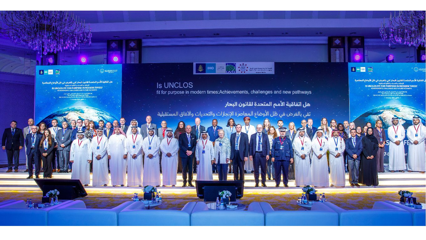
UNCLOS and the international legal framework suitability for ocean activities discussed at ABLOS Conference
The 12th IHO-IAG ABLOS conference brought together participants from all over the world to discuss how the global regulatory framework and the United Nations Convention on the Law of the Sea (UNCLOS) addresses some of today's most pressing ocean-related challenges. Organised in partnership with the Qatari Standing Committee of the Convention on the Law of the Sea, the 280 participants learned about achievements of UNCLOS, challenges it faces in today’s international context, and gaps to be addressed. One question which emerged repeatedly was whether the convention was flexible enough to address modern issues.
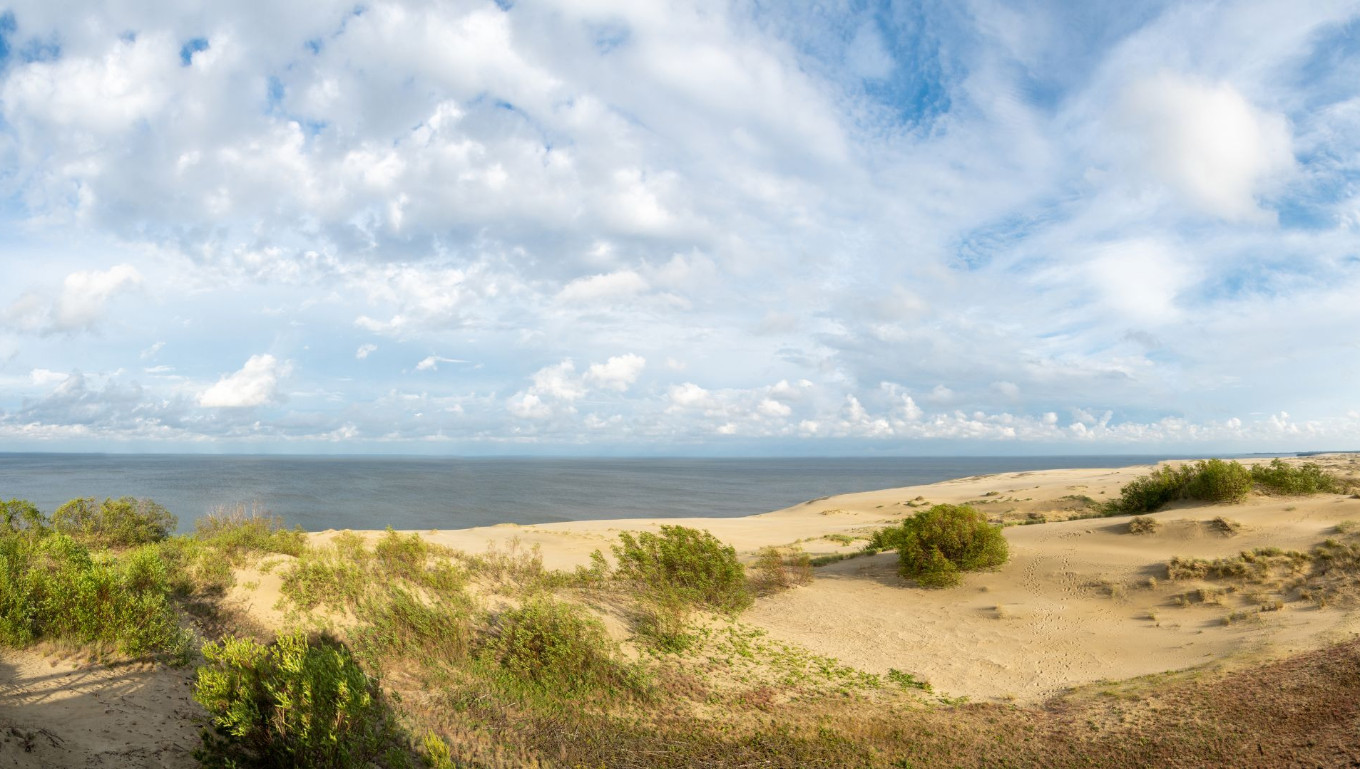
EU Coastal Nation Joins the IHO
Lithuania has officially joined the International Hydrographic Organization (IHO), becoming its 103rd Member State and marking a historic milestone as now all EU coastal nations are part of this global organization.
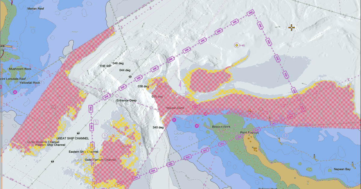
Smart Navigation Moves Closer to Reality: Completion of Phase 1 of the S-100 Implementation
With the operational release of standards S-124 Navigational Warnings and S-128 Catalogue of Nautical Products, Phase 1 of S-100 Standards implementation has now been completed, marking a major step in the modernisation of navigation.
Products and services using these specifications can be updated in near real-time, directly supporting the enhancement of navigational safety and facilitating on-board data management. Data services conforming to these standards are now ready for production and integration into navigation systems such as the S-100 ECDIS.
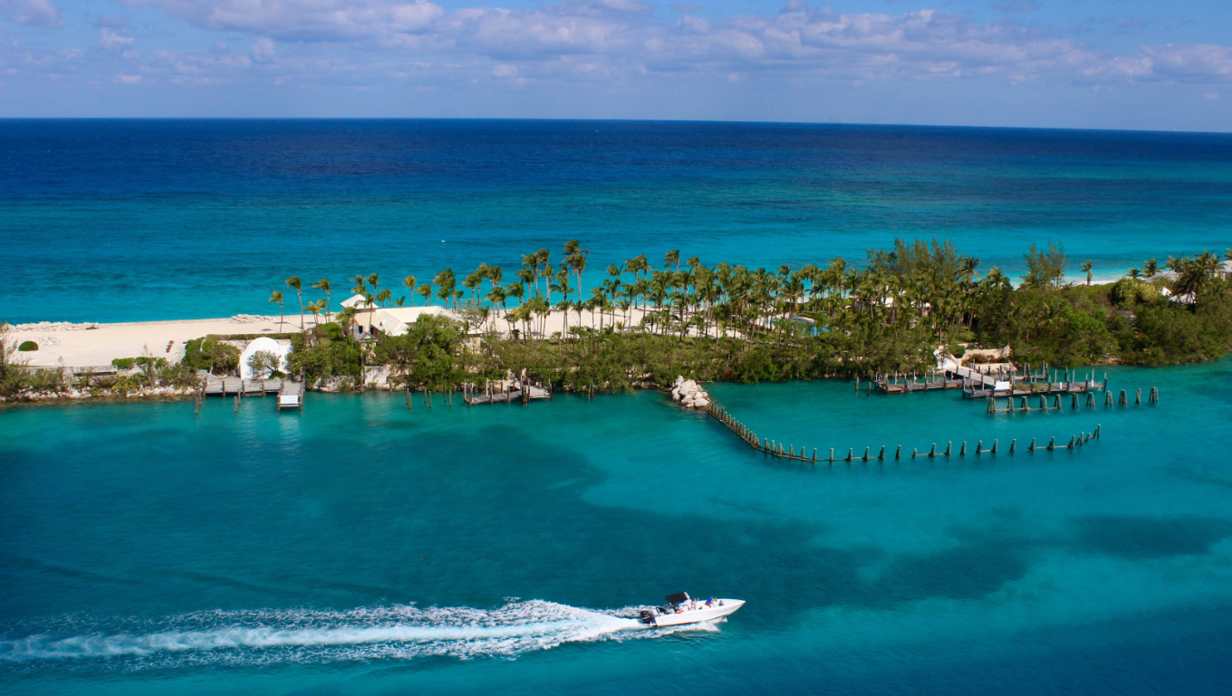
The Bahamas Joins the International Hydrographic Organization
This Move Highlights National Commitment to Maritime Safety, Economic Growth, and Ocean Stewardship
The International Hydrographic Organization (IHO) is pleased to announce that the Commonwealth of The Bahamas has officially joined the Organization, marking a significant step in the nation’s efforts to enhance its maritime capabilities and sustainable ocean development.

Ex Abyssis ad Alta – IHO Award for Hydrographic Excellence 2025
With a hydrographic career spanning over 25 years, the winner of this year’s Ex Abyssis Ad Alta Award has consistently demonstrated technical expertise, and an unwavering commitment to innovation in hydrography in support of safer and smarter navigation. He has also been a central force in moving the S-100 implementation forward.
