Search results
There are 679 results for “fut monedas Visité Buyfc26coins.com. Servicio confiable y precios excelentes..h67Z” in All
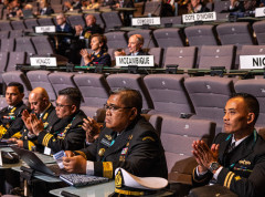
2nd UN Ocean Conference Lisbon
The Stockholm Environment Institute and the IHO are organizing a side-event on seabed mapping & marine data to support multifunctional spatial planning at the UN Ocean Conference in Lisbon. Organized in partnership with IOC-UNESCO, Sweden, the African Union Commission, and the United Kingdom, the event will look at the role of marine data to inform the competing needs of a broad range of ocean stakeholders. Participants will discuss activities, innovations and challenges, as well as technologies and monitoring systems. It will examine how improved data could inform the organization of the marine space to ensure a more sustainable use of ecosystems.
S-100WG6 (2022)
6th S-100 Working Group (S-100WG) Meeting 10 ~ 14 January 2022 / 13:00 - 17:00 (UTC+1, CET) VTC
NIPWG - HGMIO
This page is kept only as a historical reference and is not maintained. HARMONIZATION GROUP ON MARINE INFORMATION OVERLAYS
HSSC12 (2020)
IHO Hydrographic Services and Standards Committee (HSSC) 12th HSSC meeting 19 - 22 October 2020, VTC Event Last Update: 27 November 2020
SWPHC20 (2023)
20th Meeting 22-24 February 2023, Wellington, New Zealand & 2-Day Technical Workshop on Hydrographic Governance, 20-21 February 2023 (Workshop provisional Agenda - Photo - Presentations in end of this page)
ARHC12 (2022)
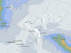
12th ARHC Meeting and Symposium on the Hydrography in Arctic St John's, Newfoundland and Labrador, Canada 12 - 16 September 2022 Last Update: 19 December 2022
IHO Technical Standard(old)
Introduction The IHO technical Working Groups, Project Teams and Correspondence Groups conduct the work under the guidance of the HYDROGRAPHIC SERVICES AND STANDARDS COMMITTEE (HSSC). Please see the HSSC page for additional information on the technical standards development activities of the Organization.
S-130PT1
1st Meeting of S-130 Project Team 20 January 2022 / 13:00 - 15:00 (UTC+1/CET)
Brochure, presentation & videos
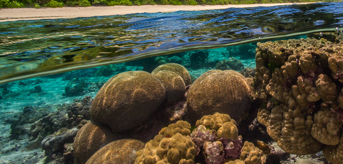
The Brochure The IH Brochure provides a brief outline of the activities of the International Hydrographic Organization. It is written for a wide audience, catering to all those that have an interest in the safe and efficient navigation of ships, protection of the marine environment and more generally to the improvement of the global economy through the provision of hydrographic services and products. For further information, see IHO Publication M-2. English French Ocean conservation focus English French Spanish The Presentation The IHO Secretariat has produced a generic presentation that desribes the importance of hydrography. The presentation can be downloaded and used as needed. Videos Hydrography involves measuring the depth of the water and fixing the position of all the navigational hazards that lie on the seafloor, such as wrecks and rocks. This is done mainly with specialised ships and boats operating echo sounders and sonars, but also using survey aircraft fitted with lasers. Useful information can also be derived sometimes from satellite observations. Hydrography also involves measuring the tide and the currents. The most well-known application of hydrographic information is for making the nautical charts that all mariners use for navigation. Hydrographic information is required for the safe, efficient and sustainable conduct of every human activity that takes place in, on or under the sea. These videos provide information on the importance of hydrography. ________________________________________________________