IHO DCDB - temporary app during NCEI outage
Published: 11/10/2024 - 09:44Hurricane Helene caused severe damage to several areas of the East Coast of the USA, which in turn has significantly impacted the operations of NOAA's National Centers for Environmental Information (NCEI) in Asheville. Many of their systems including the online access to IHO DCDB-archived bathymetric data are currently down.
In order to support services during the system’s outage, a temporary web app has been implemented and is publicly available. This Bathymetric Data Viewer presents NOAA and IHO DCDB-archived bathymetric data.
It can be accessed here: https://noaa.maps.arcgis.com/apps/instant/basic/index.html?appid=7ce587d65f8f40c0a215442ea9eead86
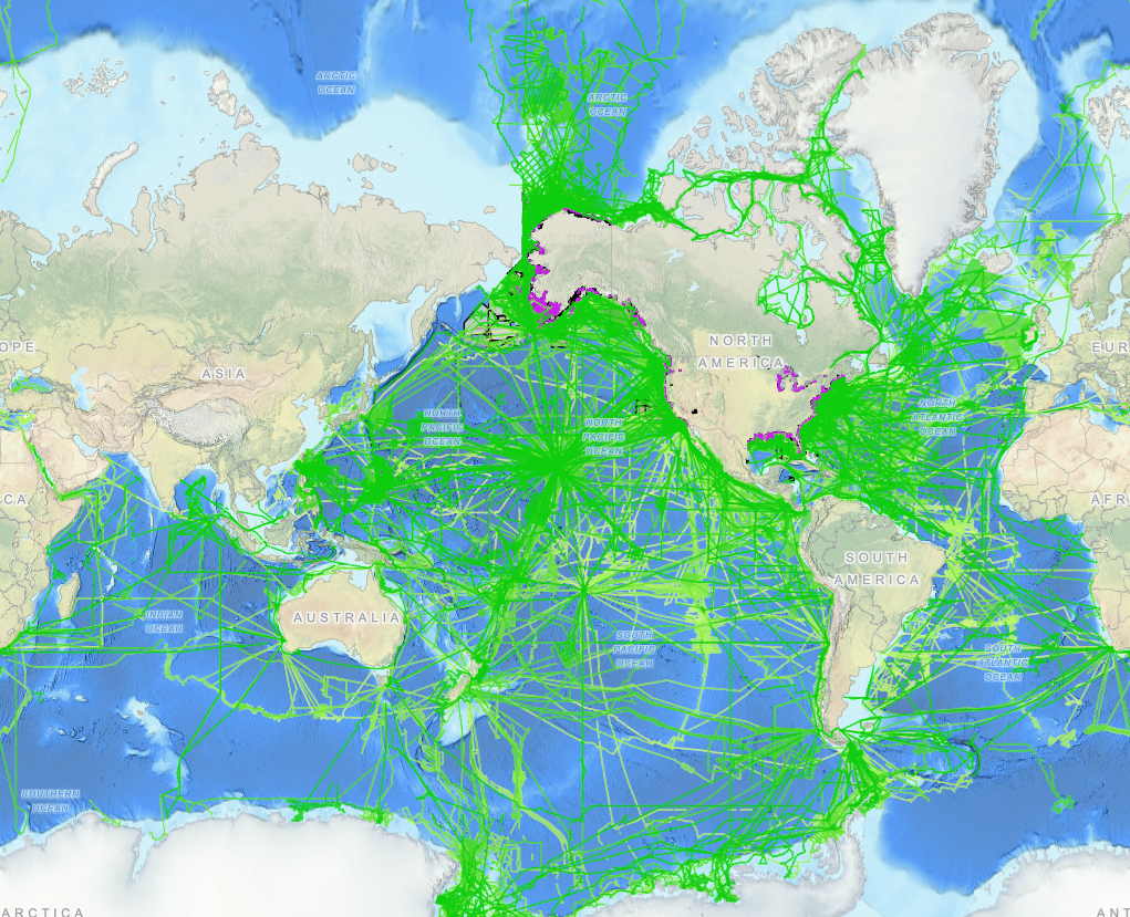
The Viewer is an interactive map providing discovery for bathymetric survey data and digital elevation models archived at NOAA's National Centers for Environmental Information (NCEI).
List of data accessible via the interactive map, including links for more information, and NOAA GeoPlatform (ArcGIS Online) entries for geospatial services:
Multibeam Bathymetric Surveys
-
-
Multibeam Bathymetric Surveys map service
-
Multibeam Bathymetry Mosaic: Elevation Values and Color Shaded Relief image services
-
-
Trackline Bathymetric Surveys (single-beam bathymetry)
-
NOAA National Ocean Service (NOS) Hydrographic Surveys
-
NOS Hydrographic Survey Footprints map service
-
Bathymetric Attributed Grid (BAG) mosaics: Elevation Values and Color Shaded Relief image services
-
-
Crowdsourced Bathymetry (CSB)
-
U.S. Bathymetry and Gap Analysis
-
BlueTopo
-
Digital Elevation Models (DEMs)
-
DEM Footprints map service
-
DEM Global Mosaic: Elevation values and Color Shaded Relief image services
-
DEM Subsets, an image service providing access to individual DEMs
-
-
Coastal Lidar Datasets available from NOAA's Office of Coastal Management


Share this page: