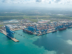
S100 project
The S-100 Standard is a framework document that is intended for the development of digital products and services for hydrographic, maritime and GIS communities. It comprises multiple parts that are based on the geospatial standards developed by the International Organization for Standardization, Technical Committee 211 (ISO/TC211).
The latest edition (Edition 5.1.0) of the S-100 Standard can be downloaded here .
The video below provides more information about S-100 and dependant Product Specifications currently under development.


Share this page: