Search results
There are 362 results for “sea” in All
What is progress with crowd-sourced depth data around the world?
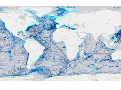
The Crowdsourced Bathymetry Working Group met last week to discuss progress on an IHO-led citizen science initiative to collect seafloor depth data. Discussions focused on updating guidance and learning about progress from some of the first trial projects around the world.
Women who belong in the official history of the Sea

The BGR provides high resolution data for the Pacific and Indian Oceans
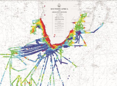
The German Federal Institute for Geosciences and Natural Resources (BGR) is participating in the IHO-led efforts to increase knowledge of the ocean and has shared high resolution depth data for the German contract areas for deep-sea exploration granted by the International Seabed Authority (ISA) in the Pacific and Indian Oceans. The BGR provided gridded data for 85.000 km² at a resolution of 120 x 120 meters.
Meso American & Caribbean Sea HC
39th Meeting of the North Sea Hydrographic Commission (NSHC39) Aberdeen, Scotland, UK 17 & 18 March 2026
Seminar on “Raising Hydrographic Awareness” & 26th Meeting of Meso-American and Caribbean Sea Hydrographic Commission (MACHC26) - Niteroi, Brazil – 8-12 December 2025
E-Navigation and GMDSS
Introduction E-navigation is defined as “the harmonized collection, integration, exchange, presentation and analysis of marine information on board and ashore by electronic means to enhance berth to berth navigation and related services for safety and security at sea and protection of the marine environment.” It is intended to meet present and future user needs through harmonization of marine navigation systems and supporting shore services.