Global hydrographic community grows with 100th country joining the IHO
Published: 14/06/2024 - 11:05The Republic of Kiribati has officially become the 100th Member State of the International Hydrographic Organization (IHO), marking a significant milestone for the global hydrographic community. This historic landmark opens up numerous benefits of being an IHO Member State, from helping carry out obligations under the SOLAS Convention, to enhancing safety of navigation, maritime security, fisheries management, economic growth, environmental protection, and climate resilience.
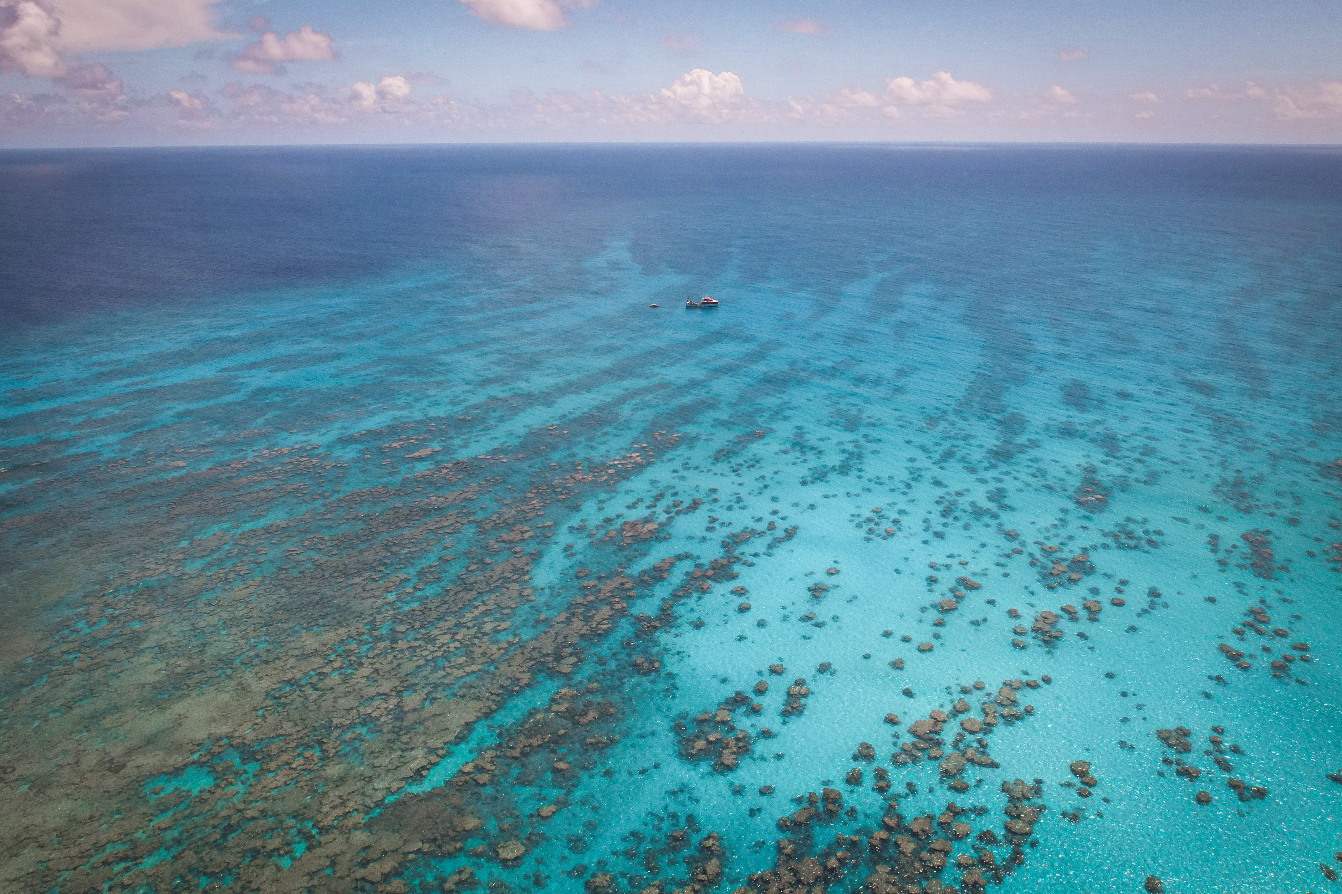
Kiribati is composed of 33 islands spread over 3,441,810 km2 of the Pacific Ocean, straddling the Equator and the 180th Meridian. It is the only country in the world located in all four hemispheres (northern, southern, western, and eastern), and is the first country on the international date line. Its EEZ is over 4000 times as big as its land area.
“Hydrography can contribute to building island resilience through improved connectivity. As a large ocean state, the development of the maritime sector has always been at the forefront of key initiatives to support Kiribati’s socio-economic development.
Enhancing maritime safety by updating our nautical charts is crucial for us. These charts do more than just improve navigation safety in our waters; the data obtained through this process is invaluable, particularly in supporting our maritime infrastructure development program and other sectors such as Fisheries and Tourism. “
Mr. Mitateti Mote Tira, Secretary & Capt. Ruoikabuti Tioon, Director of the Marine Division, Ministry of Information, Communications and Transport, Kiribati
Safety of Navigation
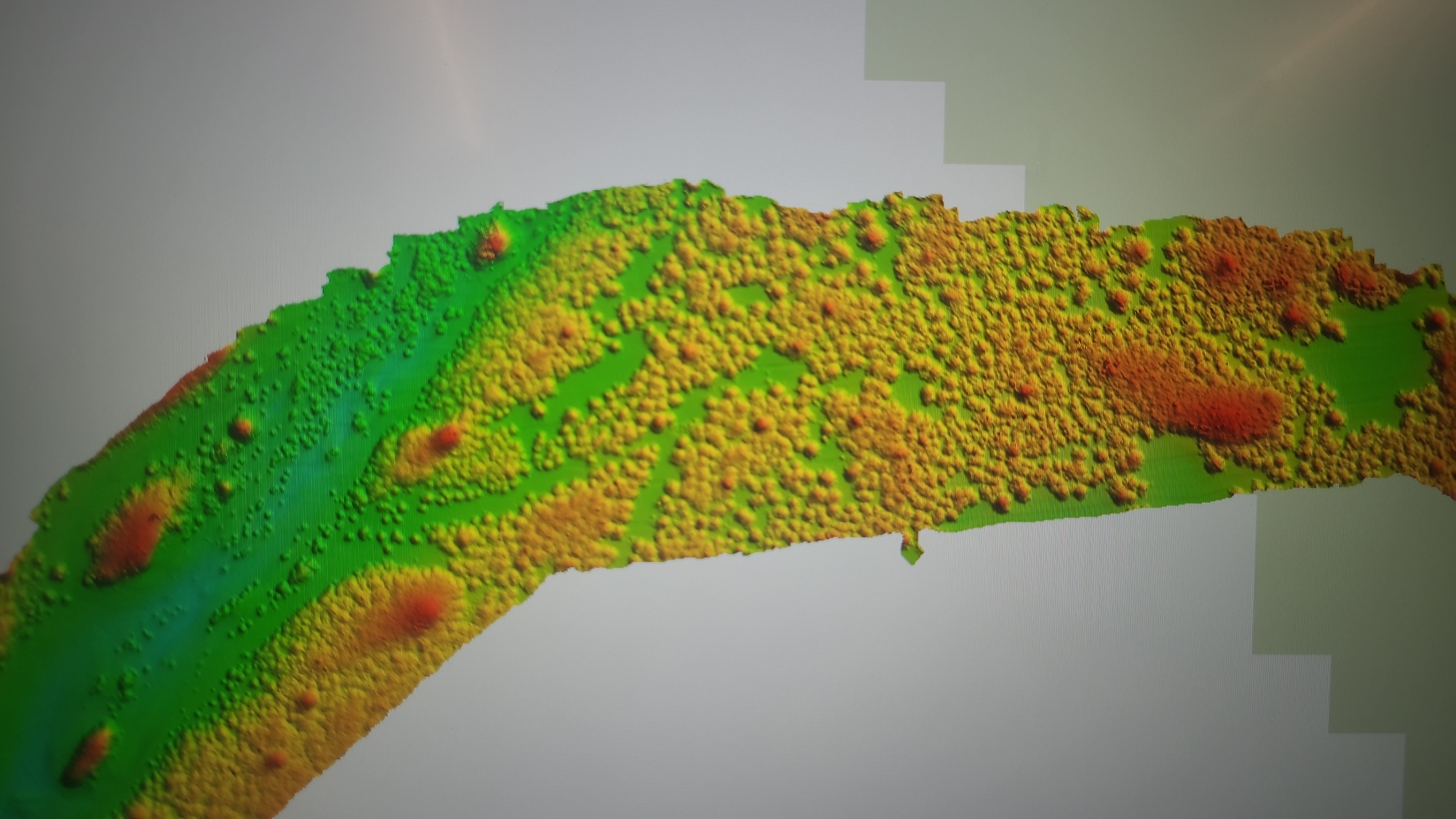
Joining the IHO provides access to a global community of experts that can support Kiribati in improving safety of navigation around its extensive maritime territory which includes low-lying and submerged reefs, sometimes just a few meters below the surface of the ocean. Up-to-date hydrographic data and modern nautical charts significantly improve safety and navigation for all who depend on the ocean for their livelihoods by reducing the risk of accidents and ensuring smoother passage for both commercial and recreational ships. This is particularly crucial for an island-nation which relies on the ocean for transportation and trade.
“The importance of being a member of the IHO is significant with respect to fulfilling our obligations under the SOLAS Convention, where it was evident that Kiribati needed to cover a lot of ground. This necessity was particularly highlighted in the IHO technical visit report of 2011. Being a member of the IHO provides us with a much clearer pathway to achieving our obligations, as it offers the opportunity to participate in the numerous programs that foster capacity building and institutional development.”
Mr. Mitateti Mote Tira, Secretary & Capt. Ruoikabuti Tioon, Director of the Marine Division, Ministry of Information, Communications and Transport, Kiribati
|
|
|
| ©Ministry of Information, Communications and Transport, Kiribati | |
Fishing represents a major source of food and income for Kiribati, with the government granting some international licenses for fishing in Kiribati waters. Membership in the IHO can help strengthen Kiribati's capabilities in maritime security and fisheries enforcement. Accurate and up-to-date hydrographic information can support activities related to monitoring and protecting the nations’ waters from illegal fishing activities. They also help to ensure sustainable fisheries management through decision based marine spatial planning and improved initiatives to protect vital marine resources.
Economic Development
Hydrographic data is a vital component for supporting economic activities centred on the ocean. It can help to identify more efficient trade routes, develop tourism, support the Blue Economy, create jobs and foster sustainable growth. Improved hydrographic infrastructure will facilitate Kiribati’s development of ports and harbours, enhancing the country’s role in the global economy. Kiribati is focusing on improving interisland transportation to help facilitate the accessibility of outer islands for commerce, resources, and expanded space for living. This initiative is dependent on accurate hydrographic data and modern standards for navigation in order to ensure safety and efficiency for all who are involved.
Environmental Protection
Kiribati is home to the Phoenix Islands Protected Area (PIPA), one of the largest Marine Protected Areas in the world. It covers an expanse of 408,250 km2, which is bigger than Japan or Germany. It contains remarkable ecosystems, both in terms of physical features with underwater seamounts thought to be extinct volcanoes, but also in terms of biodiversity, with it estimated to house some 800 different marine animal species, including 200 species of corals. PIPA also includes two submerged reefs, with Carondelet Reef being as little as 3 to 4 metres below the surface at low tide. As a sign of the importance of this ecosystem, it was declared a UNESCO World Heritage site in 2010 and is the largest and deepest World Heritage site on Earth.
Improved hydrographic capacity will support monitoring and protection of this precious marine environment and ecosystems.
Mitigation of the Adverse Effects of Climate Change
With the majority of the archipelago below 8 metres, the nation is particularly vulnerable to the impacts of sea-level rise. Enhanced hydrographic data will support monitoring and management of coastal erosion and other climate-related phenomena. This information is crucial for developing effective adaptation and mitigation strategies, helping Kiribati to better prepare for and respond to the impacts of climate change.
Hydrography and crowdsourcing data
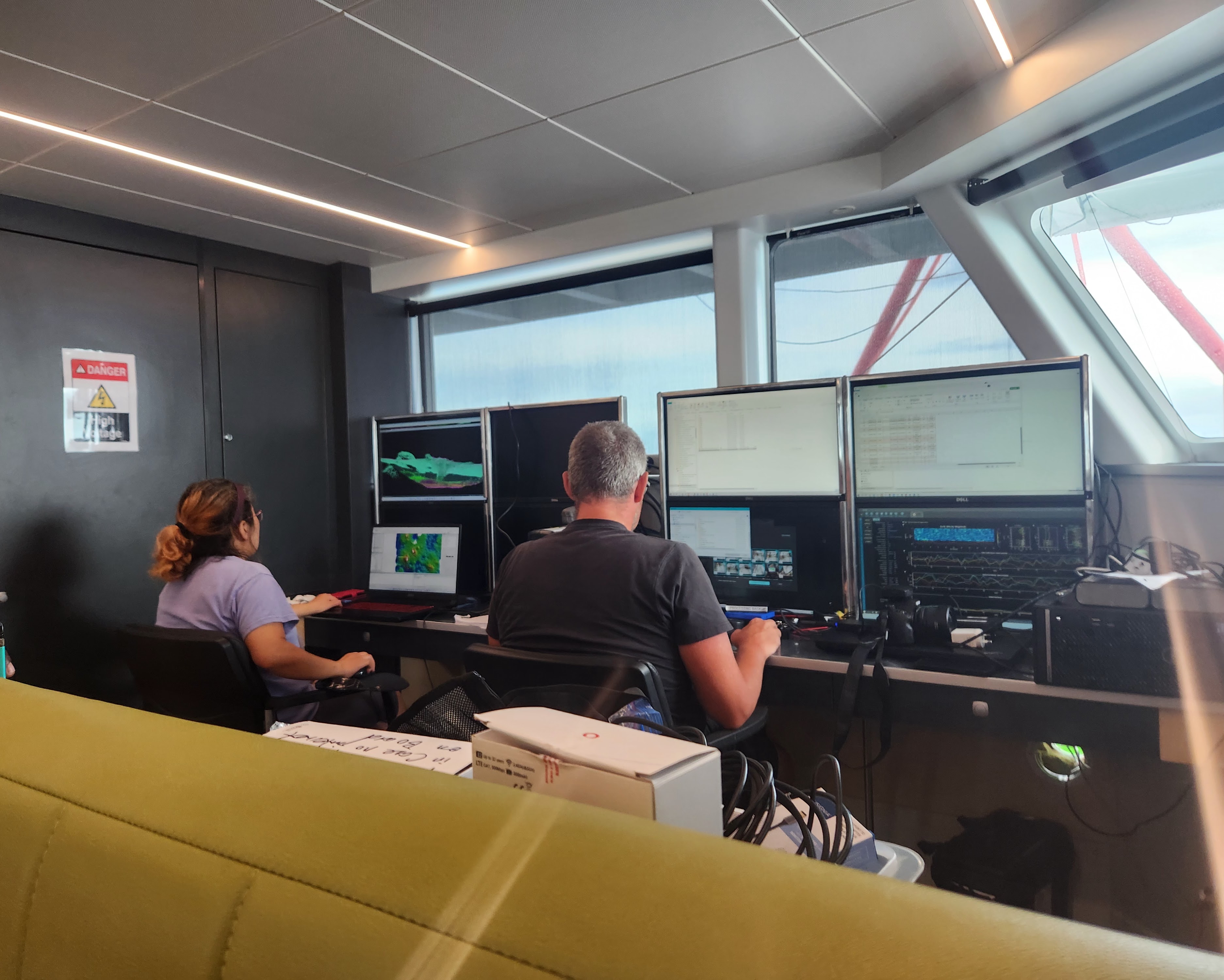
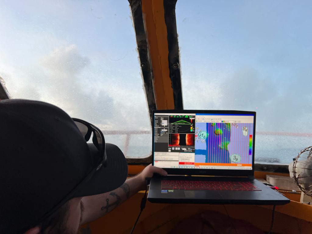
Kiribati’s IHO membership is the culmination of many years of effort by Kiribati to work with the international community, often through the South-West Pacific Hydrographic Commission, to develop an in-country hydrographic capacity. Its hydrographic unit, created in 2020, now has four members of staff and is led by Tion Uriam . In order to accelerate the gathering of valuable ocean data, earlier in 2024 Kiribati formally approved the collection of crowdsourced bathymetric data in its territorial sea and Exclusive Economic Zone (EEZ). It is also taking part in the Seabed 2030 initiative, which among others, uses crowd-sourced bathymetry to develop a more detailed map of Kiribati’s waters. Vessels that ferry between the islands carry single beam echosounders, effectively helping to map Kiribati’s waters through the collection of data.
100 Member States in the IHO
“The Accession of Kiribati to the IHO is significant not just because it marks one more Member State in terms of numbers, it is also a sign of the relevance of the IHO’s work in support of all ocean related activities. Being a member of the IHO means being part of the fundamental technical work undertaken by the Organization. Countries can contribute to activities and at the same time take benefit from the outputs”.
Dr Mathias Jonas, Secretary General IHO
The IHO is an intergovernmental organization which brings together now 100 countries, in addition to observer organizations and stakeholders from around the world. It works to ensure all seas, oceans and navigable waters are surveyed and charted.


Share this page: