The Bahamas Joins the International Hydrographic Organization
Published: 17/07/2025 - 10:36This Move Highlights National Commitment to Maritime Safety, Economic Growth, and Ocean Stewardship
The International Hydrographic Organization (IHO) is pleased to announce that the Commonwealth of The Bahamas has officially joined the Organization, marking a significant step in the nation’s efforts to enhance its maritime capabilities and sustainable ocean development.

An archipelagic nation made up of more than 700 islands, The Bahamas has long been recognized for its crystal-clear, shallow turquoise waters and vibrant marine ecosystems. The waters between the Exumas and Andros, for example, are rich in biodiversity, including several species of dolphins and porpoises. With approximately 95% of its territory comprising marine space, The Bahamas’ economy is intrinsically linked to the ocean.
Tourism—largely driven by the country’s unique marine environment—accounts for over 50% of the national GDP and supports a substantial portion of the workforce. In 2024, the Nassau Cruise Port (NCP), the busiest transit cruise port in the region, welcomed an impressive 5.6 million cruise passengers, reinforcing the global appeal of Bahamian destinations and the sector’s role as a key pillar of economic development.
“As new members of the IHO, we look forward to collaborating with other Member States and the Organization to enhance hydrographic capabilities, share knowledge, and contribute to global maritime safety and efficiency.”
Kimberley Lam, Head of the Maritime & Ocean Affairs Bureau, Ministry of Foreign Affairs of the Bahamas
Recognizing the growing need for accurate and up-to-date hydrographic data to support safe and secure navigation, tourism, and sustainable marine management, The Bahamas has committed to strengthening its hydrographic capacity. By joining the IHO, the country aims to establish a national hydrographic service and gradually build the technical capability to meet its obligations under the International Convention for the Safety of Life at Sea (SOLAS) independently.
National priorities and benefits for the Bahamas in joining the IHO
Joining the IHO can bring significant benefits and opportunities for capacity building and the development of hydrography. In the context of The Bahamas and the Caribbean region, the nation is planning to focus on several areas:
1. Safe Navigation and Environmental Stewardship
With access to standardised hydrographic data and modern charting tools, The Bahamas can significantly enhance maritime safety and reduce the risks of accidents at sea. These tools will also support the conservation of fragile ecosystems such as coral reefs, mangroves, and seagrass beds.
2. Disaster Risk Reduction and Climate Adaptation
Located in the Atlantic hurricane belt, The Bahamas is highly vulnerable to extreme weather events. Through IHO collaboration, The Bahamas hopes to leverage partnerships to improve coastal and bathymetric mapping to support hurricane forecasting, evacuation planning, and infrastructure design. These capabilities are critical as the country addresses rising sea levels, coastal erosion, and other climate-related threats.
3. Maritime Security and Protection of Marine Resources
Accurate nautical charts are not only essential for navigation but are powerful tools for maritime domain awareness. The Bahamas would like to use these to strengthen their capacity to detect and deter illegal fishing, smuggling, and unregulated exploitation of marine and mineral resources within their exclusive economic zone.
4. Support for The Bahamas Maritime Authority and IMO Compliance
As a major Flag State, The Bahamas is required to maintain high international safety and regulatory standards. The nation hopes IHO membership will directly support The Bahamas Maritime Authority (BMA) in meeting the requirements of the IMO Member State Audit Scheme, ensuring that vessels flying the Bahamian flag continue to meet global benchmarks for safety and performance on the high seas.
5. Training and Capacity Building
As a Member State, The Bahamas will have access to the full IHO Capacity-Building Programme and to a global network of technical experts. It will be able to benefit from technical assistance and professional training in hydrography, marine data management, and chart production. The nation anticipates this support will help to build national capacity across agencies, empowering Bahamian experts to collect, interpret, and apply marine data in service of national hydrographic development.
6. Underwater Cultural Heritage, Eco-Tourism, and the Blue Economy
The Bahamas waters are home to numerous shipwrecks, including historic galleons resting beneath the surface. The nation hopes accurate mapping will help preserve this underwater cultural heritage while enabling the Ministry of Tourism to develop ecotourism, creating new economic opportunities for coastal communities.

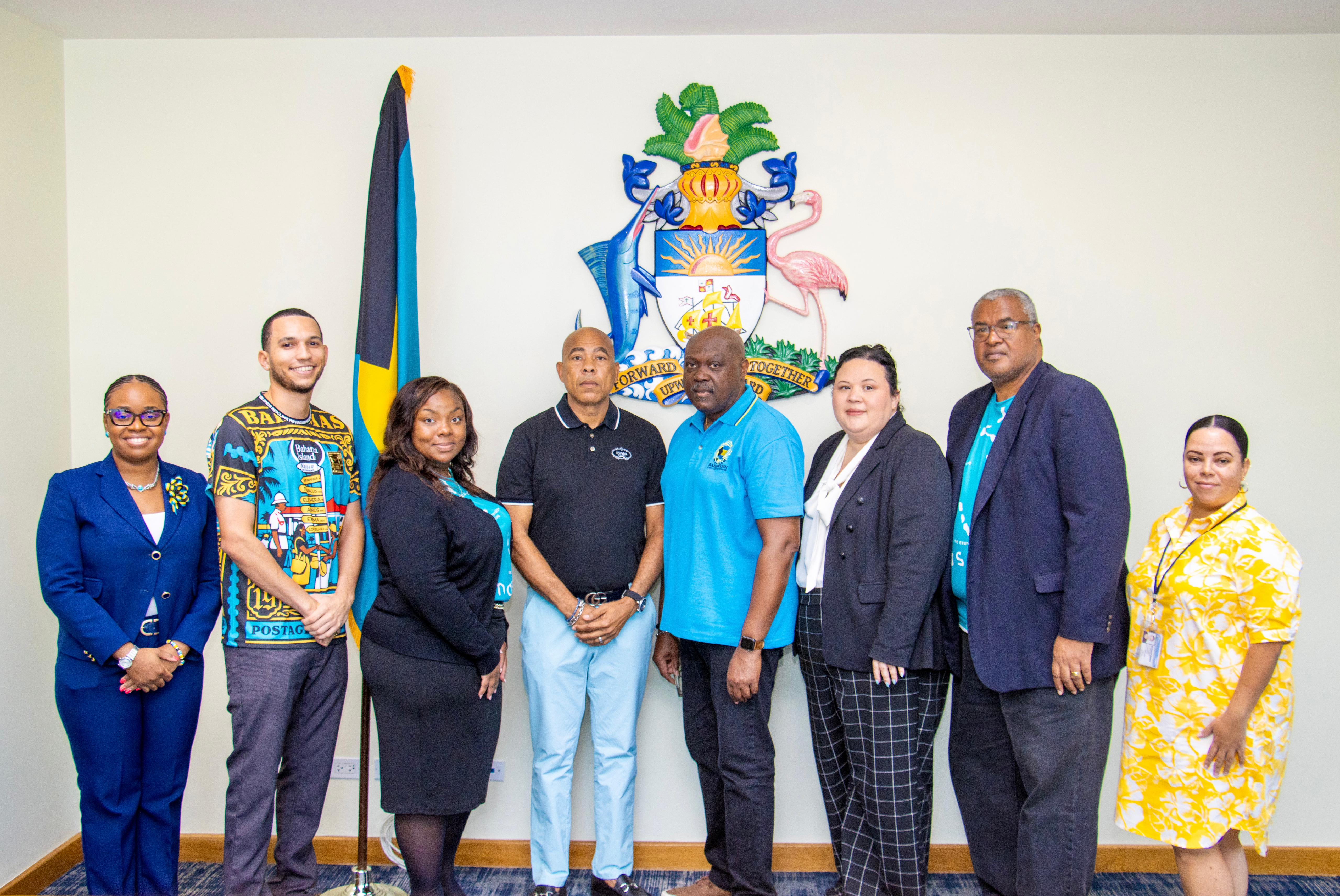
©The Bahamas
“For the Commonwealth of The Bahamas, being a Member of the IHO represents not only an opportunity to improve the Maritime National Policy, but above all a unique opportunity to become part of an International Organization where cooperation and knowledge of the marine environment represent the real added value for domestic progress and sustainable development of a national economy that has the Ocean as its greatest source of wealth and well-being.”
Luigi Sinapi, IHO Director
The Bahamas adhesion to the IHO is closely tied to the nation’s ambition to strengthen its position as a maritime hub in the Caribbean. Enhanced hydrographic services will provide essential information about ocean dynamics, resources, and environmental changes—supporting not only safe navigation and maritime operations but also the sustainable management of marine resources and coastal development.
“As an archipelagic country and as part of progressing our National Maritime Policy, developing a charting authority will require a multi-faceted approach that focuses on building capacity, establishing legal frameworks, and securing international cooperation. Recognizing that creating a national hydrographic service will involve a long-term plan to train personnel, acquire necessary equipment, and integrate into global networks for data sharing and safety, stakeholders at the national level are holding discussions to assess the needs of The Bahamas to achieve this objective in the medium to long term.”
Kimberley Lam, Head of the Maritime & Ocean Affairs Bureau, Ministry of Foreign Affairs of The Bahamas
The IHO warmly welcomes the Bahamas into the global community of nations working together to improve the availability and use of hydrographic data for the benefit of safety, sustainability, and the ocean economy.


Share this page: