Guidance on use of satellites to gather depth data
Published: 17/05/2024 - 10:34The IHO has published the first “Satellite-Derived Bathymetry Best Practice Guide” for the hydrographic community. The new document provides an overview of methods and factors to consider when applying SDB to map shallow coastal environments.
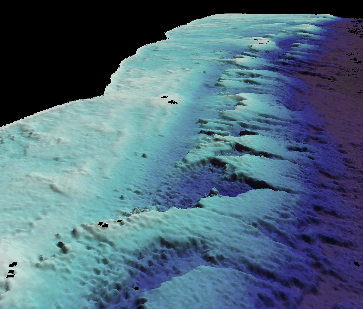
Knowledge of the depth and shape of the seafloor in shallow waters is critical for coastal countries to identify navigational hazards, but also for activities linked to marine conservation, tourism, costal development, and generally speaking for the Blue Economy. The necessity to better understand this depth zone has led coastal and maritime stakeholders to expand their mapping and surveying toolbox and increasingly use satellite-derived bathymetry. In order to improve the understanding of the technology and its use to map and monitor the marine environment, the IHO has published a new “Satellite-Derived Bathymetry Best Practice Guide” (B-13). It provides technical best practices and guidance through background information on SDB techniques, as well as a framework for collecting, processing, analysing, interpreting, and sharing data.

Satellite-Derived Bathymetry (SDB) is the calculation of shallow water depth from active or passive satellite sensors. It allows users to obtain shallow water bathymetry data at a lower cost compared to hydrographic survey campaigns and can be used for areas that are physically inaccessible or difficult to survey by other means. It allows for the collection of bathymetric survey data from a desktop, entirely remotely from the survey location. This is of particular importance for areas that are dangerous or difficult to reach, or those that require frequent updates. It can be especially useful in uncharted waters to improve safety prior to acoustic surveys.
"While SDB will not replace accurate acoustic or lidar surveys, it can be used effectively if its uncertainty constraints are understood and managed, offering a valuable addition to the toolbox of the hydrographic community. "
Dr Mathias Jonas - IHO Secretary General
The need and benefits of mapping our seas, oceans and waterways are well established, but the continuing deficits of data remain a challenge. This is especially true within shallow coastal environments, where the seabed may be very dynamic, requiring regular updated surveys. These areas can also be challenging for some established ship-based techniques to operate in efficiently and safely. It is therefore useful to consider all available technologies and approaches to collecting the required data, balancing the considerations of spatial resolution, measurement uncertainty and financial constraints. Satellite-Derived Bathymetry (SDB) can play an important role in the mapping and monitoring of coastal zones.
"Our community continues to face a huge challenge in the available funding and resources to enable us to improve and maintain a detailed map of our seabed. SDB can make a valuable and cost-effective contribution to the endeavour in the challenging shallow coastal environments."
David Parker - Chair, IHO Hydrographic Surveys Working Group
This new IHO guidance document (B-13) provides an overview of methods and factors to consider in order to obtain the best results. It has been produced by the IHO’s Satellite Derived Bathymetry Project Team, which is chaired by Knut Hartman of EOMAP. The Project Team operates within the IHO’s Hydrographic Surveys Working Group. These are composed of experts in hydrography and seabed mapping from a diverse range of Member State Hydrographic Offices as well as Expert Contributors from industry, including higher education institutions. This community works together to contribute towards and agree on guidance that in turn can be used by all engaged in the shared endeavour of mapping the marine domain particularly the very shallow waters.
"Satellite-based bathymetry requires multidisciplinary knowledge in hydrography, earth observation, IT and capacity building. To address this issue, the SDB Best Practice Team was formed and has become a truly international team of experts from the private and government sectors. The current milestone of B-13 release is the result of great international collaboration and a major milestone for SDB technology in general."
Knut Hartmann - Chair, IHO Satellite-Derived Bathymetry Project Team


Share this page: