Hydrography discussed at the UN Ocean Conference
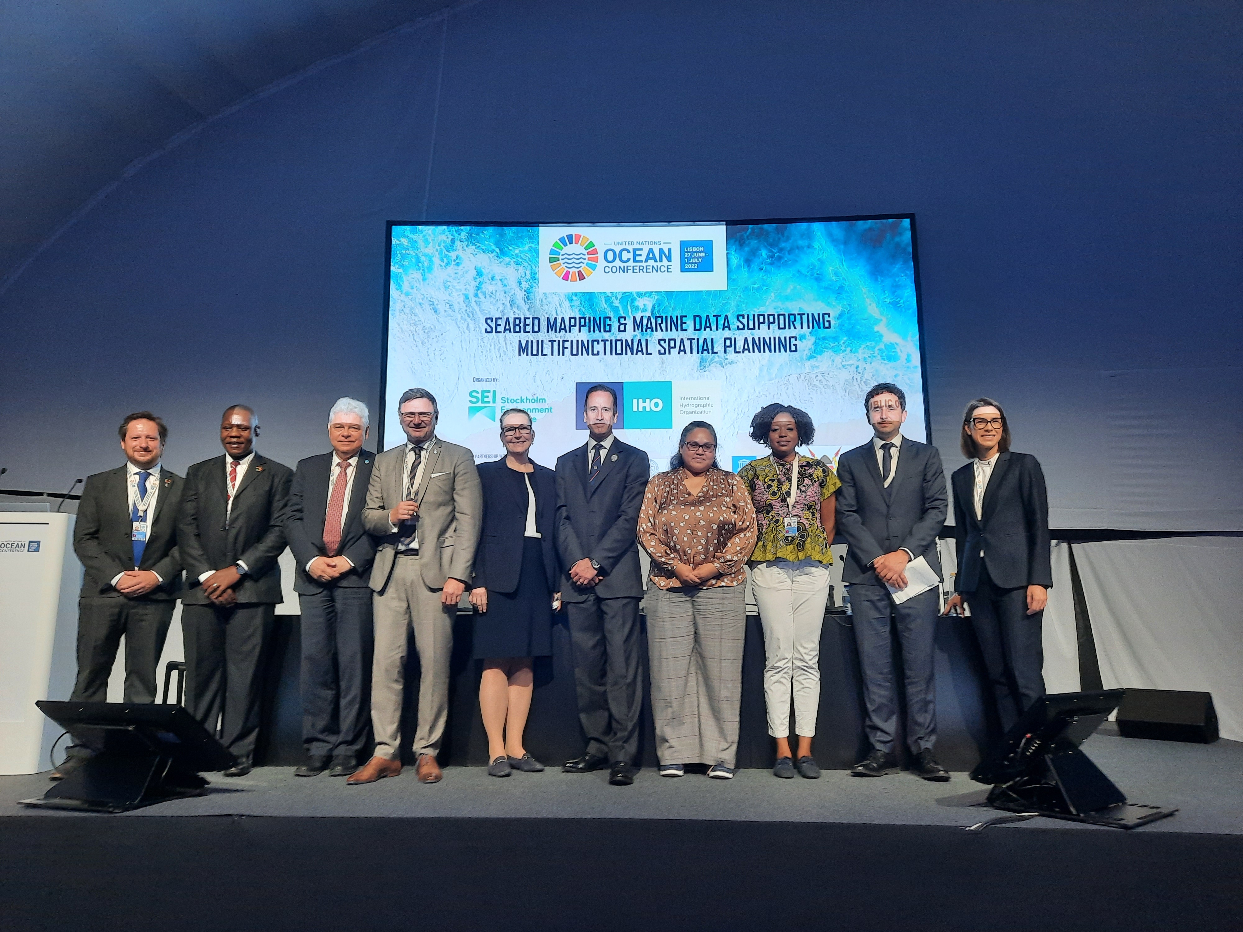
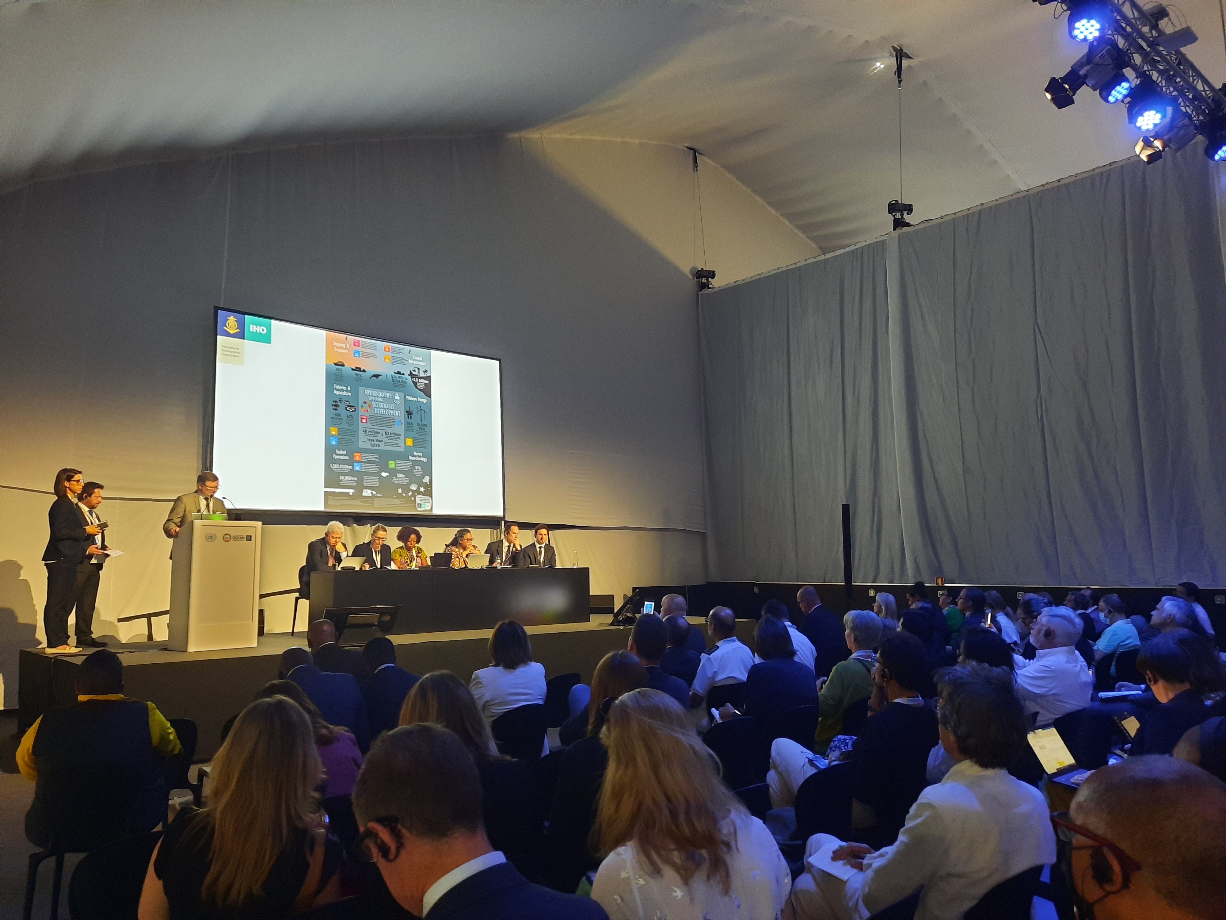
Published: 08/07/2022 - 12:30The IHO organized a side event on the role of marine data to help address the competing needs of a broad range of ocean stakeholders at the UN Ocean Conference in Lisbon on 28 June 2022. With many sessions during the week highlighting the need for baseline data and ocean mapping to support decision-making, this side event enabled panellists to draw attention to the central role hydrography can play in these endeavours.
The panellists representing a varied range of ocean data users from around the globe discussed activities, innovations and challenges and examined how improved data could inform the organization of the marine space to ensure a more sustainable use of the oceans.
“By implementing multifunctional marine spatial planning, countries can optimize the use of space, deliver multiple benefits, and use their resources more efficiently. But to achieve this, there needs to be a solid foundation of data – marine geoinformation. To understand the interdependencies of physical, chemical and biological phenomenon, mapping the seabed and coastal topography is essential. This is where hydrography plays a role.”
Dr Mathias Jonas, IHO Secretary General
Taking an analytical approach can help guide this process: by examining the different activities and how they may evolve over time, it is possible to maximize their positive impact, as opposed to causing tensions when two competing activities are established too close to each other. The added value for both co-existing goals can result in smart combinations which support both a healthy economy and a healthy ocean.
Despite all these benefits, many argued that more funds were needed to achieve their mapping objectives. But what would be an appropriate level of public spending to get more ocean data?
To help gauge this, the OECD has been looking at the value of data in order analyse the policies that affect marine data provision. This involved looking beyond just the revenues generated and fuel costs saved, but at the broad-based societal value including the economic, social, environmental outcomes that result from better decision making. The organization carried out a survey which revealed that many ocean data users regularly used parameters that are broadly related to hydrography in their work. Beyond the range of scientists – geologists, geophysicists, biologists, ecologists and oceanographers, this also included users such as archaeologists, historians, environmental engineers, ocean modellers and forecasters, business service providers, technologists, conservationists and even hobbyists. The survey showed that data types are not used in isolation, but are frequently combined in analysis with data from other domains such as marine geology, fisheries, hydrocarbon extraction sites, pipelines, and transport, paleoclimate and pollution, data on the atmosphere and the cryosphere etc.
“Many of the societal benefits lie in the combination of data through different actions with applications in numerous fields: more effective planning decisions leading to more efficient economic activity; better protection and management of marine protected areas; lower uncertainty in weather forecasts leading to better decision making; more attractive economies for investment in critical infrastructure such as power cables…”
James Jolliffe, OECD
Yet there still remains gaps in knowledge and resources are wasted on replicating data collection efforts.
“Where data has been collected, it is not always done so according to international standards and the onward sharing of data for other purposes doesn’t always happen as widely as it should be. We have not yet fully adopted the principle of “collect once, use many times”.
Rear-Admiral Rhett Hatcher, UK National Hydrographer
In order to increase the coverage, quality of and access to seabed mapping data through collaboration, anywhere in the world, the United Kingdom announced during the event the creation of the UK Centre for Seabed Mapping (UK CSM).
The side-event was co-hosted by the International Hydrographic Organization and the Stockholm Environment Institute, together with Sweden, Kenya, Belize, the United Kingdom, the African Union, the OECD, and IOC UNESCO. It focused on how Seabed mapping and marine data can support multifunctional spatial planning and the sustainable use of the oceans.
During the Ocean Conference, the Nippon Foundation-GEBCO Seabed 2030 Project also announced an increase in ocean data equating to the size of Europe. The latest GEBCO Grid figure now stands at a global coverage of 23.4%, reflecting an increase of 10.1 million square kilometres of new bathymetric data compared to last year’s figure. This increase is equivalent to an area around the size of Europe, and slightly larger than the Sahara - Earth’s largest hot desert.
The UN Ocean conference also provided the opportunity to meet other organizations working in the sphere of ocean science and discuss potential areas of collaboration.


Share this page: