Mapping the Future: Fiji Hosts Pivotal Meetings on Ocean Mapping and Hydrography
Published: 25/11/2024 - 10:13Suva & Nadi, Fiji — November 2024
Fiji became the epicenter of global ocean mapping, hydrographic collaboration and geospatial information management as it hosted a series of landmark meetings with a strong focus on Pacific engagement. From the 41st Meeting of the GEBCO Guiding Committee (GGC41) and the 6th Pacific Ocean Mapping Meeting to the subsequent UN workshops on geospatial frameworks and sustainable development, the events underscored the critical role of ocean and data governance for Pacific Island countries and territories.
A First for the Pacific
The GEBCO Guiding Committee convened for the first time in a Pacific Island nation, a symbolic milestone that acknowledged the region's rich maritime heritage. Pacific Islanders crossed vast areas of the ocean, displaying skills and knowledge thousands of years before European explorers followed the same routes. To this day, some of the largest Exclusive Economic Zones in the world are located in the Pacific. French Polynesia for example has an EEZ of 4,767,240 km2, which is similar to that of Japan. Yet Pacific voices are not always heard in discussions about marine and geospatial knowledge.
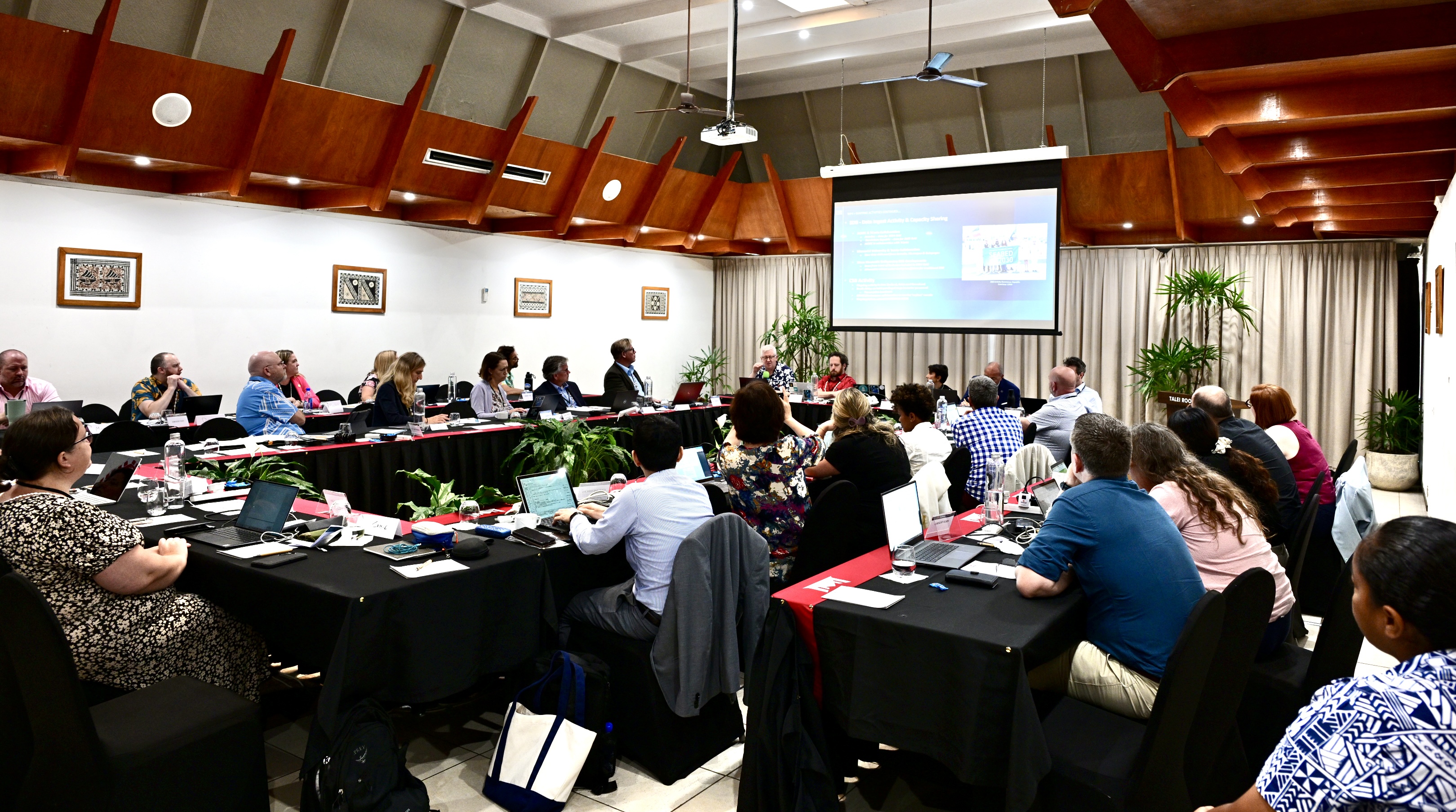
The GEBCO Guiding Committee meeting, attended by 60 representatives from 14 countries and organizations like IOC-UNESCO, focused on the implementation of GEBCO’s new 2024–2030 strategy. Delegates discussed challenges specific to the Pacific, such as barriers to participation, access to technology, and regional inclusion, which are critical for these nations, many of whom are vulnerable to the impacts of climate change and sea-level rise.
Fiji’s leadership in hosting the event highlights its commitment to advancing sustainable marine management, aligning with the country’s pledge to protect 30% of its ocean territory by 2030 under the 30x30 Alliance.
Mapping the Pacific for the Future
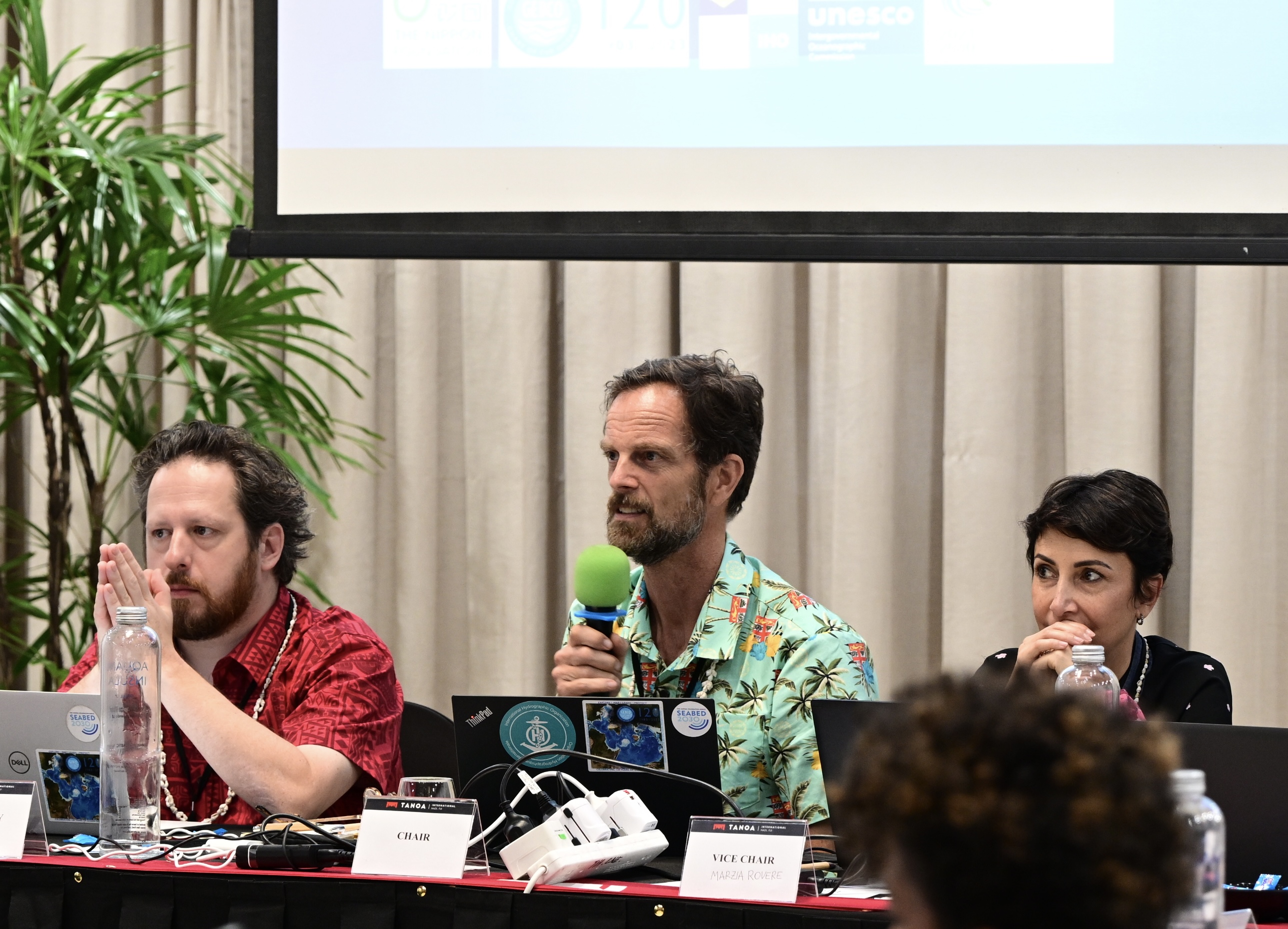
The 6th Pacific Ocean Mapping Meeting, organized by the Nippon Foundation-GEBCO Seabed 2030 project, drew 90 participants from 27 countries—an unprecedented level of regional engagement. The event showcased innovative technologies like satellite-derived bathymetry and autonomous vehicles and emphasized the importance of accessible ocean data for sustainable development. Participants highlighted the critical role of seabed mapping in developing sustainable blue economies, marine spatial planning, and biodiversity conservation.

The Pacific, the world’s largest and perhaps least explored ocean, could greatly benefit from increased ocean data. Up-to date information could help communities monitor changes in sea level and better prepare for high tides and storm surges. There is also untapped potential for economic growth through developing maritime trade. Completing a comprehensive seafloor map is not just a scientific challenge but a pathway to building resilience and fostering regional collaboration.
Keynote speakers, including representatives from the IHO, IOC-UNESCO, the Nippon Foundation and the Fijian government, stressed the need for innovative partnerships and open data-sharing to tackle challenges faced by Pacific Island Countries (PICs). Fiji, like its neighbours, relies on accurate bathymetric data to navigate maritime boundaries, support marine tourism, and protect fragile ecosystems.
“Cooperating with each other and sharing the mission of fighting against fragmentation, attracting investments and adopt agile procedures, is what the IHO is doing today - with renewed vigor - at regional and global level, for a more agile and operational approach to Mapping the Ocean, with a clear understanding of the challenges ahead”.
Luigi Sinapi – IHO Director
The meeting also celebrated Kiribati's recent accession as the 100th member of the IHO, a milestone that underscores the growing importance of hydrography in the Pacific.
Strengthening Geospatial Frameworks
Following the ocean mapping discussions, Fiji hosted the Expert Consultation and Meeting on Enhancing Geospatial Information Management Arrangements and Accelerating the Implementation of Sustainable Development Goals (SDGs) from November 11–15. Organized by the UN Global Geospatial Information Management Section in collaboration with the Pacific Community and SDG Data Alliance, this event aimed to strengthen geospatial information systems to support Pacific Island Countries and Territories progress towards SDGs.
Key outcomes included a renewed focus on aligning Pacific geospatial initiatives with global SDG priorities and fostering regional collaboration to improve data accessibility and interoperability. Workshops explored tools like the UN Integrated Geospatial Information Framework (UN-IGIF) and the importance of blending Indigenous knowledge with modern geospatial techniques.
“There is a global paucity of seabed data, yet up-to-date hydrographic information underpins the delivery of the sustainable Development Goals”.
Samuel Harper, IHO Assistant Director

Mr Harper also showcased initiatives like the IHO Crowdsourced Bathymetry (CSB) programme. He emphasized the urgency of expanding ocean data collection, a vital component of the UN Ocean Decade Challenge to create a digital representation of the oceans.
For more information on GEBCO, visit https://iho.int/en/gebco.


Share this page: