Ocean Decade S-100 Webinar
Published: 17/09/2021 - 15:42The IHO Universal Data Model S-100 is like lego blocks for data. This is how Secretary General Dr Mathias Jonas described S-100 during an IHO webinar organized as part of the Ocean Decade Laboratories “A Predicted Ocean”.
of the ocean can help predict future changes.
Just like the different elements in a box of lego, some parts are common and can be used for all constructions. These are compatible and interoperable. Other pieces are specific to certain sets. For example wings, wheels… S-100 aims to do the same with ocean data. It provides the building blocks to develop compatible and interoperable data sets.
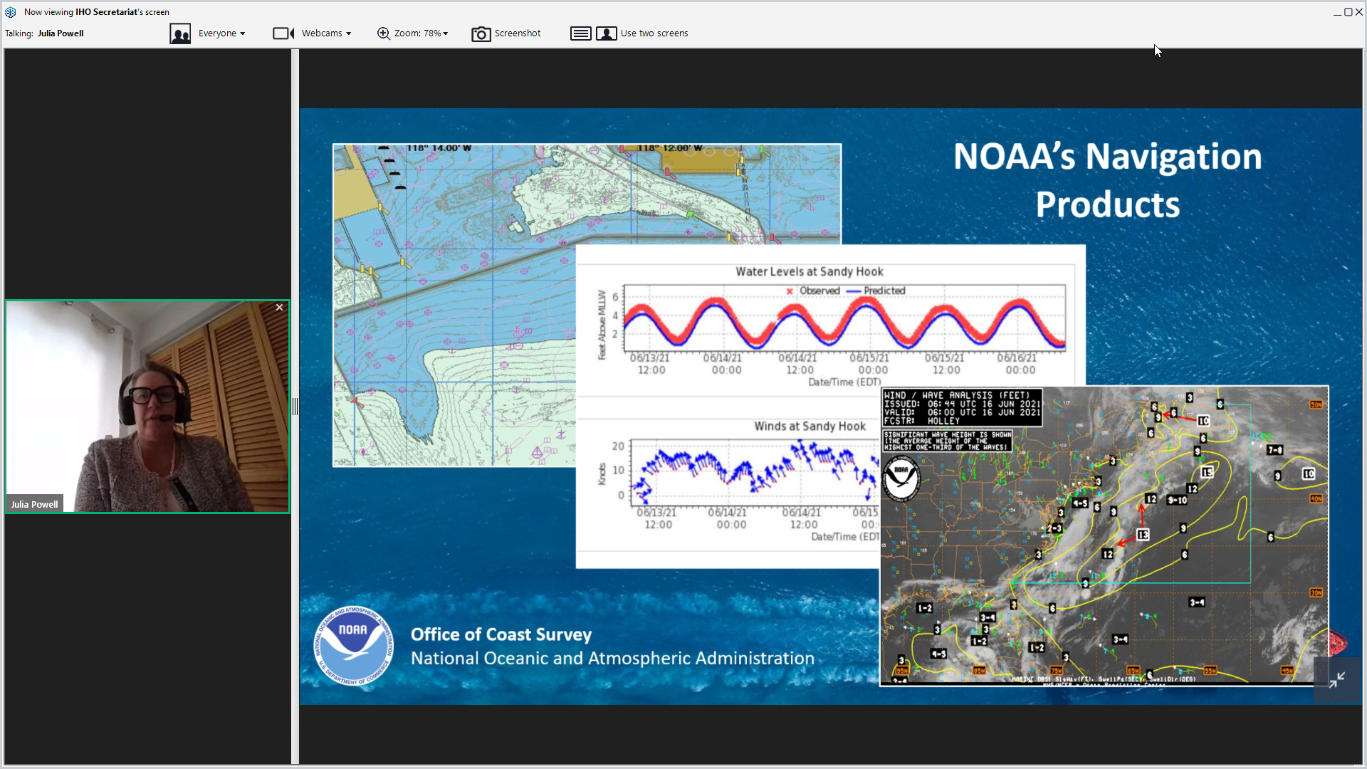
S-100, while originally developed for data to support the safety of navigation, can be used by a wide variety of ocean disciplines. Julia Powell, chief of navigation services at NOAA, provided real world examples of how her organization is using the various S-100 products. She mentioned how information on currents for example is useful in route planning in navigation. Ships can use this information to choose the most efficient route, taking advantage of the currents as opposed to going against them. By reducing speed by 1 knot, fuel consumption can decrease by 15%.
This comment was echoed by a representative from Canada who highlighted that optimised dynamic routes developed thanks to S-100 data can help decrease the carbon footprint of global shipping.
In contrast, using data which is not compatible hinders the provision of real time updates. If all data gatherers and providers developed data sets based on the S-100 framework, information could easily be merged.
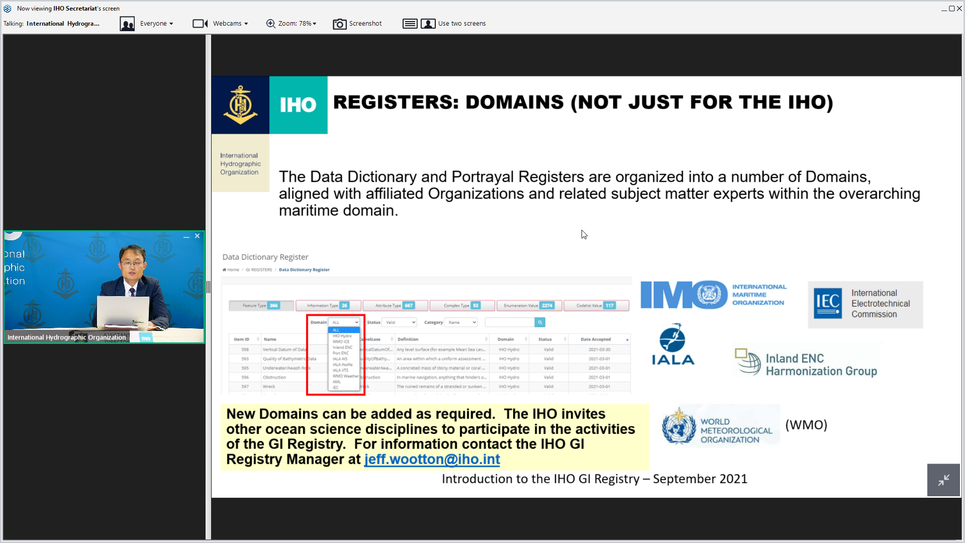
Yong Baek, IHO Assistant Director made an analogy with Google Maps. It provides a map for a specific area, but users can also display restaurants, hotels and other services as relevant. S-100 allows the same functionalities in the maritime world. By using data sets based on the S-100 frameworks, users can develop digital representations of the ocean with Electronic Nautical Charts and can superimpose information on currents, marine protected areas, weather etc.
“S-100 allows users to combine, superimpose and amend geoinformation seamlessly in 1 solution”.
Yong Baek, IHO Assistant Director
The video of the discussions can be watched here.


Share this page: