Search results
There are 939 results for “capitulo 1 docx” in All
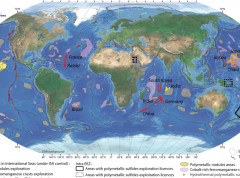
The BGR provides high resolution data for the Pacific and Indian Oceans
The German Federal Institute for Geosciences and Natural Resources (BGR) is participating in the IHO-led efforts to increase knowledge of the ocean and has shared high resolution depth data for the German contract areas for deep-sea exploration granted by the International Seabed Authority (ISA) in the Pacific and Indian Oceans. The BGR provided gridded data for 85.000 km² at a resolution of 120 x 120 meters.
Iridium SafetyCast Implementation Status
The International Maritime Organization (IMO), the International Hydrographic Organization (IHO), and the World Meteorological Organization (WMO) announce the establishment of the Iridium SafetyCast Service, as a recognized mobile satellite service in the Global Maritime Distress and Safety System (GMDSS). Effective 11 December 2020, Iridium declared the Iridium SafetyCast Service operational for broadcasting navigational warnings, meteorological warnings and forecasts, and Search and Rescue (SAR) related information.
Achieving a Fully Mapped Ocean: A Call to Action
This interactive side event will look at solutions and how to drive momentum toward a fully mapped ocean. It will explore key opportunities and challenges across policy, finance, governance, technology, marine knowledge sharing, capacity building and more.

Portal
ENC Production S-57
Introduction The S-57 "Transfer Standard for Digital Hydrographic Data” is the IHO standard to be used for the exchange of digital hydrographic data between national hydrographic offices and for its distribution to manufacturers, mariners and other data users.
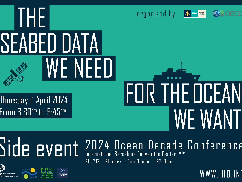
UN Ocean Decade Conference
The IHO and the OECD are co-hosting a satellite event during the UN Ocean Decade conference in Barcelona. Entitled "The Seabed Data We Need for the Ocean We Want," this session aims to look at the importance of advancing our understanding of the ocean and fostering increased investment in related activities.
- 11 April 2024
- 8:30am to 9:45am
Meetings
List of MSDI Working Group Meetings
IHO welcomes 99th Member State
The Republic of Cabo Verde, an archipelago located 500km off the west coast of Africa in the Atlantic Ocean, has taken a stride towards improving its hydrographic capacity by becoming the 99th Member State of the International Hydrographic Organization (IHO). This strategic move positions Cabo Verde at the centre of international cooperation in the area of ocean affairs, unlocking a myriad of benefits for the nation and its rich marine environment.

Basic Documents ARMSDIWG
Arctic Region Marine Spatial Data Infrastructure Working Group


