Council Members Discuss Progress in Transition to Smart Navigation and More
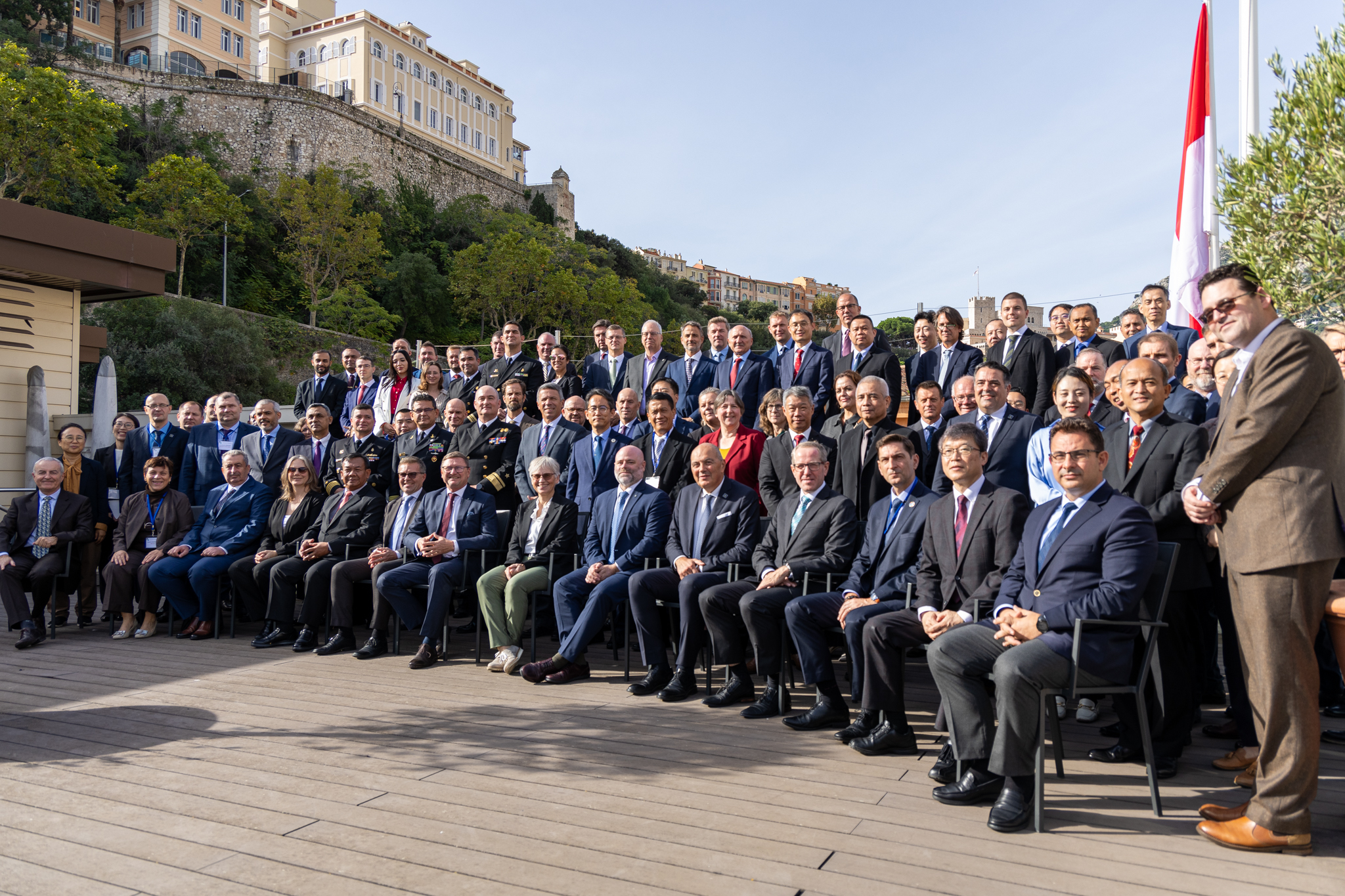
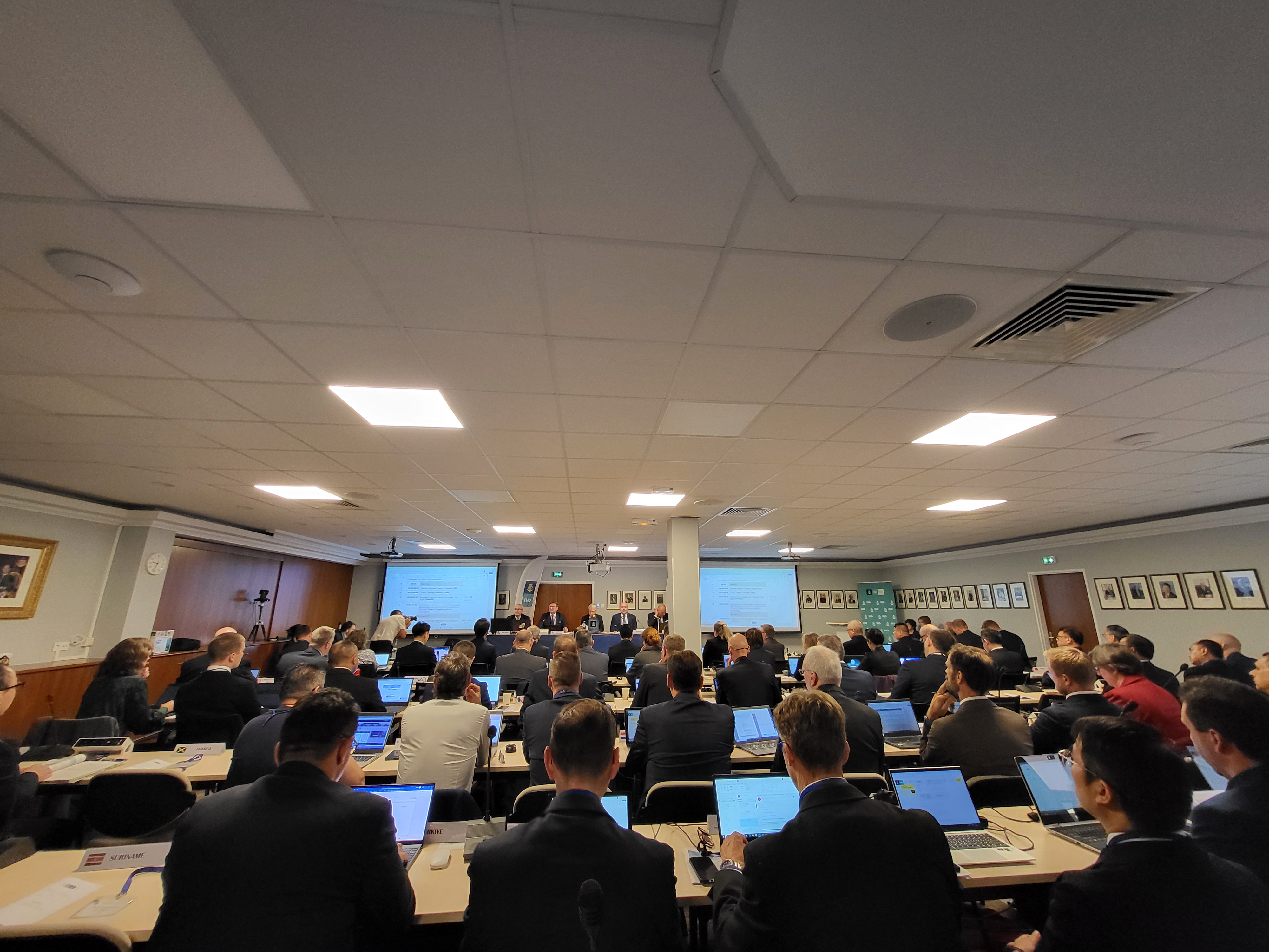
Published: 25/10/2024 - 15:44130 participants representing 45 Member States, Observers and partner organizations gathered at the IHO Secretariat in Monaco and online for the annual meeting of the Council from 15-17 October. Participants discussed topics covering education and training, technology, a potential new infrastructure center and of course the transition to smart navigation. With the provision of products and services scheduled to begin in January 2026, many of the discussions focused on progress with the implementation of S-100, the Universal Hydrographic Data Model.
The main goals of the meeting were to review the work plan, take stock of progress, and decide on priority areas for the coming year.
Council holds a pivotal role within the IHO as it monitors progress on actions agreed upon by Member States during Assembly. It also provides an opportunity for Member States, both Council Members and Council Observers, to come together and discuss important matters.
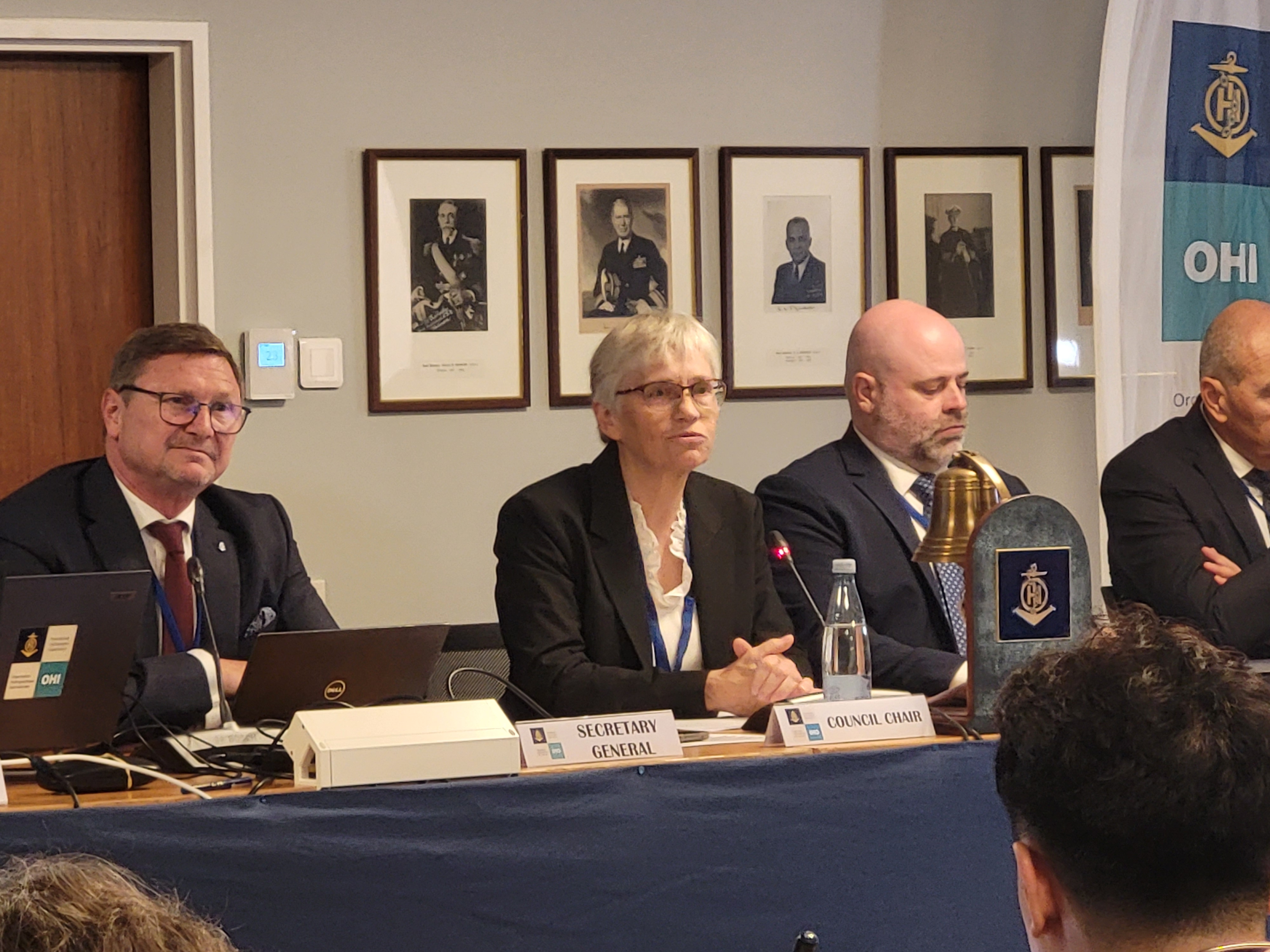
Pia Dahl Højgaard, chair of the IHO Council

Efforts are accelerating around the world for the transition to smart navigation based on S-100, and already several countries have begun sea trials. Australia for example has created an S-100 Test Bed Focus Group which brings together relevant government entities and maritime stakeholders. Thanks to this efficient cooperation, they have been able to create some data sets based on the S-100 standard, and carried out a successful navigation test: the Italian tall ship Amerigo Vespucci was provided with Electronic Navigational Charts based on this data (S-101 ENCs) and navigated with them from the moment it entered Australian waters until it reached Darwin Harbour.
In order to enable more countries to carry out tests of S-100 products and services, and following Council’s endorsement of the proposal to create S-100 Sea Trial Areas around the world, Canada is inviting countries to participate in the Saint Lawrence S-100 Sea Trial Area. Set to start in the spring of 2025, the exercise will include online technical sessions in French and English. All the necessary data will be provided by the Canadian government and will be made fully available to pilot participants. Feedback on the sea trial will be given to the IHO S-100 Working Group.
As part of efforts to implement training on technology, maintain technology infrastructure, and provide support for these new navigation systems, Council members also endorsed the establishment of an interim infrastructure center hosted by the Korea Hydrographic and Oceanographic Agency (KHOA). The IHO headquarters would remain in Monaco and would oversee all of the center’s activities including accountability in decision-making, operations management, and ensuring the different entities work together effectively. The establishment of a permanent infrastructure center would be discussed and voted on during the next meeting of the IHO Assembly in April 2026.
The transition to smart navigation will offer tremendous benefits thanks to systems which can ingest and display near real-time data for certain parameters. Like maps on smartphones that display roads and overlay information about nearby amenities such as restaurants or points of interest, the goal is to develop a similar system for the seas but focused on traffic. Navigation tools developed within this framework could in the future incorporate various parameters such as ocean currents, weather, and harbour information in addition to the base layer of depth. This information would be able to help optimise routes by leveraging currents and winds, planning voyages based on the latest depth information to take the most direct route, or avoid shallow areas. However, this transition could also require adapting certain processes. Javier Yasnikouski, Head of Operational Safety in the Maritime Safety Division at the International Maritime Organization, presented their S-100 implementation plan. He highlighted some factors to be considered for it to be successful, such as updating data exchange methods, regulatory change, user training, and coordination with information providers. In December, the IMO Maritime Safety Committee will consider a proposal to develop guidance for a global framework on data distribution and IP-based connectivity to unlock the full potential of S-100 ECDIS.
Many of the Council sessions also addressed technology, and how best to facilitate Member States benefiting from new developments. One of the new projects of the IHO Singapore Innovation and Technology Laboratory was presented: a good example of the wide applicability of hydrography, the project will investigate how to improve the integration of land and sea data to better understand environmental impacts in the coastal zone. It aims to support decision-making in evaluating the effects of climate change and natural disasters by improving the supporting data which is critical for forecasting sea-level rise, storm surge, and other vital questions for coastal communities.

Council Members also endorsed the establishment of a working group to review the IHO Strategic Plan for 2027-2032. The goal will be to establish the organization’s work priorities and focus areas for the period and will play a major role in the direction of the organization. This could include for example reviewing which global initiatives the IHO should contribute to and formalizing this work. While ocean weather data is central to safety of navigation for example and the IHO has long worked with international partners on this topic, it is not strictly speaking gathered “through” hydrography. This is one area which could be reinforced and formalized in the new strategic plan. All IHO Member States are invited to nominate representatives to participate in the discussions and contribute to the direction of the Organization.

With the commissioning of the operational editions of the new S-100 product specifications announced for the end of the year - those to be used on new dual-fuel S-100 ECDIS from 2026 - a milestone has been reached within the IHO. This Council meeting confirmed the awareness and commitment of IHO Member State hydrographic services from around the world to create, both at national level and regional level through the RHCs, the conditions for a successful global implementation. This positive and decisive step must not, however, veil the challenges that the IHO must tackle in a coordinated way together with the other stakeholders of the S-100 Data Services distribution chain. Yes, the IHO is technical and consultative in essence, but more than 50 years after the first INTernational standardized paper charts shared on all bridges around the world, the IHO is becoming more and more involved in the digital and operational maritime world. And there is no other way than to sail tailwind to the future of e-navigation.
Dr Mathias Jonas, IHO Secretary-General
The Council was chaired by Pia Dahl Højgaard of Denmark (Geodatastyrelsen)


Share this page: