Search results
There are 516 results for “fc coins 26 Besuche die Website Buyfc26coins.com. Billig und seriös..cwku” in All
Course Programme
This training course is expected to be delivered primary at the UK Hydrographic Office (UKHO) in Taunton, UK, by the UKHO and other institutions. The course content has been updated regularly to reflect new technologies. The current standard programme outline for training courses from 2026 onwards is expected to include the following:
Special contributions from external donors
In addition to the annual contribution from the IHO Budget approved by Member States, the CB Fund receives donations made by governments, international organizations, funding agencies, associations or private individuals in support of the IHO CBWP.
Importance of Hydrography
Definition of Hydrography Hydrography is the branch of applied sciences which deals with the measurement and description of the physical features of oceans, seas, coastal areas, lakes and rivers, as well as with the prediction of their change over time, for the primary purpose of safety of navigation and in support of all other marine activities, including economic development, security and defence, scientific research, and environmental protection. In addition to supporting safe and efficient navigation of ships, hydrography underpins almost every other activity associated with the sea, including: - resource exploitation - fishing, minerals,.. - environmental protection and management - maritime boundary delimitation - national marine spatial data infrastructures - recreational boating - maritime defence and security - tsunami flood and inundation modelling - coastal zone management - tourism - marine science
S-100 Implementation Strategy
Last Update : 26 November 2025
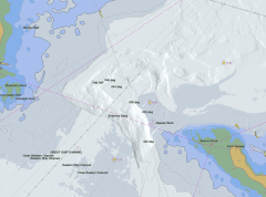
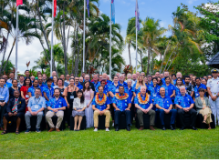
Mapping the Future: Fiji Hosts Pivotal Meetings on Ocean Mapping and Hydrography
Suva & Nadi, Fiji — November 2024 Fiji became the epicenter of global ocean mapping, hydrographic collaboration and geospatial information management as it hosted a series of landmark meetings with a strong focus on Pacific engagement. From the 41st Meeting of the GEBCO Guiding Committee (GGC41) and the 6th Pacific Ocean Mapping Meeting to the subsequent UN workshops on geospatial frameworks and sustainable development, the events underscored the critical role of ocean and data governance for Pacific Island countries and territories.
IHO Crowdsourced Bathymetry Initiative
The International Hydrographic Organization (IHO) has a long history of encouraging the collection of crowdsourced depth data to help improve humanity’s understanding of the shape and depth of the seafloor. For over a century, maps of the ocean floor were created from depth measurements collected by vessels as they journeyed across the oceans. These “passage soundings” enabled the creation of progressively more detailed seafloor maps and digital data grids. Recently, systematic surveys with specialized ships have contributed to greatly increasing available data. Unfortunately, despite the multitude of data that has been collected, to this day only 25% of the world’s ocean depths have been measured; the rest of the data used to compile seafloor maps are estimated depths.
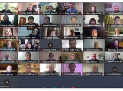
Crowdsourced Bathymetry Working Group Discusses How to Increase Available Data
The IHO Crowdsourced Bathymetry Working Group (CSBWG) held its 10th meeting last week. 56 IHO Member State and stakeholder representatives gathered online to discuss how to increase crowdsourced data around the world and address data quality in the Great Barrier Reef, the Canadian Arctic coast, Japan and China as well the super yacht, commercial survey and private chart sectors.
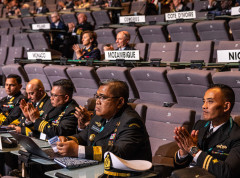
WWNWS11 (2019)
11th World-Wide Navigational Warning Service Sub-Committee (WWNWS-SC) Meeting Halifax, Canada (26 - 30 August 2019)
Encoding Bulletins
S-57 Edition 3.1 Encoding Bulletins