Search results
There are 363 results for “sea” in All
Document
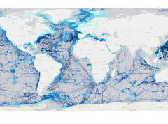
Visit to the Autoridad Maritima de Panama & Seminar on “Raising Hydrographic Awareness” Panama City, Panama – 2 December 2024 25th Meeting of Meso American and Caribbean Sea Hydrographic Commission Panama City, Panama – 3-6 December
Download document
Document
17th Meeting of Black and Azov Seas Working Group (BASWG) Istanbul, Türkiye, 26-27 March
Download document
Document
30th Business Meeting of the Advisory Board on the Law of the Sea (ABLOS) and the 11th ABLOS Conference - IHO, Monaco, 10 - 13 October
Download document
Document
35th Meeting of the IHO-IOC GEBCO Sub-Committee on Undersea Feature Names (SCUFN), Part 1 - IOC, UNESCO, Paris (hybrid), 14 – 18 March 2022 Part 2 – IHO Secretariat, Monaco (in-person), 28 November – 2 December
Download document
Document
9th ROPME Sea Area Hydrographic Commission Meeting (RSAHC9) Muscat, Oman 15-17 November
Download document
Document
XIII Trans-Regional Seapower Symposium Venice, Italy 5 - 7 October
Download document
News
Worldwide ENC Database working group discusses the future of coverage
The Worldwide ENC Database working group (WEND) gathered last week to discuss the future of global ENC coverage, decisions which are key to support the safety of navigation, search and rescue activities, and mitigate the impacts of storms, marine pollution etc. The goal was to pave the way and be ready for when the new S-100 based digital products are implemented, and to try and coordinate initiatives.
Read more
Document
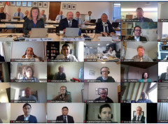
22nd Meeting of the Meso American & Caribbean Sea Hydrographic Commission (MACHC22) Video-teleconference (VTC), 30 November to 3 December
Download document
Document
34th Meeting of the IHO-IOC GEBCO Sub-Committee on Undersea Feature Names (SCUFN), Series of Video-teleconferences (VTC), 7 January, 7 June and 16-17 November
Download document