Search results
There are 78 results for “fc coins 26 xbox one Besuche die Website Buyfc26coins.com. Gute Erfahrung..aq8N” in All
New director elected at the IHO
Following the postponement of the IHO Assembly due to the covid-19 pandemic, the IHO Secretariat initiated a remote voting procedure to fill the position of IHO Director which will become vacant in September 2020.
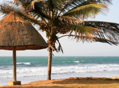
The Gambia Joins the IHO: Strengthening Hydrographic Capacity in West Africa
The International Hydrographic Organization (IHO) proudly welcomes the Republic of The Gambia as its newest Member State, marking a significant milestone for both the Organization and the West African region. With this accession, the global hydrographic community continues to grow in Africa, underscoring the increasing recognition of the importance of hydrography for safe navigation but also coastal zone management, tourism, UNCLOS obligations and more.
Hydrographic Services and Standards Committee discusses progress in standards
Pushidrosal, the Hydrographic and Oceanographic Centre of the Indonesia Navy, hosted the annual meeting of the Hydrographic Services and Standards Committee (HSSC) last week, in Denpasar, Bali.
The S-100 framework is now operational
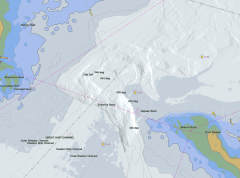
A significant step in the implementation of the S-100 ecosystem was officially achieved in January 2026, when the Phase 1 S-100 product specifications entered into force. Stakeholders can now access and use the operational version of these specifications in real-world environments.
EU Coastal Nation Joins the IHO
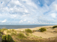
Lithuania has officially joined the International Hydrographic Organization (IHO), becoming its 103rd Member State and marking a historic milestone as now all EU coastal nations are part of this global organization.
Global hydrographic community grows with 100th country joining the IHO
The Republic of Kiribati has officially become the 100th Member State of the International Hydrographic Organization (IHO), marking a significant milestone for the global hydrographic community. This historic landmark opens up numerous benefits of being an IHO Member State, from helping carry out obligations under the SOLAS Convention, to enhancing safety of navigation, maritime security, fisheries management, economic growth, environmental protection, and climate resilience.
From ocean mapping to Argo floats: how are we learning about the changing ocean?
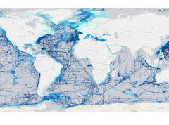
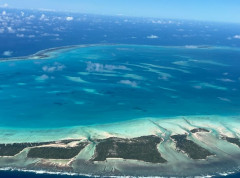
Better ocean data can be used to inform a variety of decisions from storm preparedness to seaweed farming. As part of the Monaco Ocean Week, the IHO hosted an event which provided an overview of some of the work being done to increase our knowledge of the ocean, from Prince Albert I of Monaco’s original idea of ocean mapping to the Argo programme, an exciting, global multidisciplinary project.
New IHO Council meets in Monaco
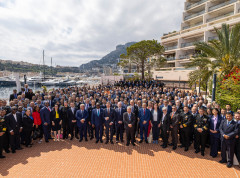
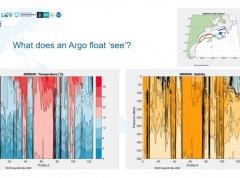
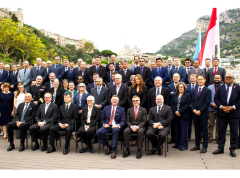
Representatives of IHO Member States discussed the future of digital data services and other priorities during the meeting of the new IHO Council. Taking place at the Secretariat in Monaco, the 30 countries sitting on Council met for the 1st time with the goal of coordinating the implementation of activities voted on during Assembly in May. The biggest topic of discussion was progress and next steps in the implementation of the Universal Digital Data Model, known as the S-100 framework.
New guide on accuracy of depth information in Electronic Navigational Charts - ENCs
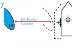
Data provided in electronic navigational charts can vary greatly in accuracy depending on when the sea survey to gather the data was carried out, the type of technology used, as well as the seafloor coverage.