Search results
There are 762 results for “” in All
IHO Council
COUNCIL OF THE INTERNATIONAL HYDROGRAPHIC ORGANIZATION
Become a Member State
How to join the IHO to become a member state?
IHO Strategic Plan and Work Programme
This Strategic Plan sets the course for the IHO as it navigates opportunities and challenges on a 6-year cycle. The forthcoming 2027 to 2032 period promises profound transformation in world hydrography with the introduction of a new generation of electronic navigation products and services in line with the International Maritime Organization (IMO) E-Navigation and maritime digitalization strategy. To succeed in this evolving landscape, this Plan identifies specific strategic goals and targets that will guide the IHO's Work Programme, fostering its vision, mission, and objectives, and establishing clear performance indicators to track progress. The IHO Work Programme is the annual operational plan approved by Member States, translating the IHO Strategic Plan into concrete programmes, objectives and actions delivered by the Secretariat and IHO bodies.
IHO Disclaimer – Integrated Platform Version
Version 2.0 – July 2025
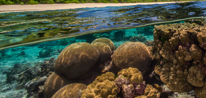
Side Event: Global Ocean Data Sharing
A Key Enabler to Inform Science, Management, and Policy Development This high-level networking event will discuss why and how the public and private sectors can contribute ocean depth data.
Terms and Definitions
Updated on 14 May 2025
MSDIWG
SAIHC MSDI Seabed2030 VTC Meeting 2nd February 2021
Navigational Products
Introduction The S-100 Standard is a framework document that is intended for the development of digital products and services for hydrographic, maritime and GIS communities. It comprises multiple parts that are based on the geospatial standards developed by the International Organization for Standardization, Technical Committee 211 (ISO/TC211). An S-100 based Product Specification defines a data product, and usually includes additional resources such as a machine readable Feature Catalogue and Portrayal Catalogue, a data Encoding Guide and at least one data encoding format. A guidance document S-97 for developing Product Specifications can be downloaded from the GI registry. A list of known IHO S-100 based product specifications is provided here.
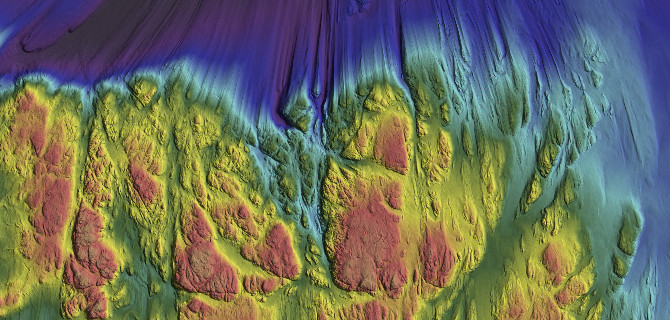
2nd UN Ocean Conference Lisbon
The Stockholm Environment Institute and the IHO are organizing a side-event on seabed mapping & marine data to support multifunctional spatial planning at the UN Ocean Conference in Lisbon. Organized in partnership with IOC-UNESCO, Sweden, the African Union Commission, and the United Kingdom, the event will look at the role of marine data to inform the competing needs of a broad range of ocean stakeholders. Participants will discuss activities, innovations and challenges, as well as technologies and monitoring systems. It will examine how improved data could inform the organization of the marine space to ensure a more sustainable use of ecosystems.