Why CSB ?
Participating in the CSB Initiative benefits both those collecting the data and the communities of data users. These data contribute to increasing our knowledge, information which supports local regional and global initiatives in favour of the sustainable use of the oceans. They can also contribute to improved knowledge of seabed topography and better bathymetric maps or hydrographic charts in previously uncharted areas or areas lacking accurate data. This in turn can help avoid groundings and make navigation safer for all.
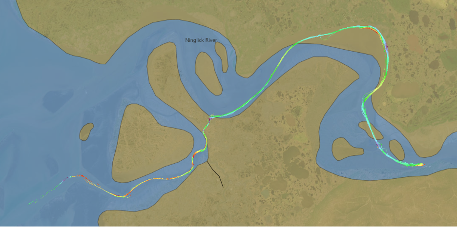
CSB data can provide up-to-date information on water depths, shoals, and potential hazards. It contributes to environmental conservation efforts by identifying critical habitats, monitoring erosion, and studying underwater ecosystems. Additionally, CSB supports research on climate change impacts, coastal zone management, and disaster preparedness, empowering informed decision-making and risk mitigation.
CSB efforts can also foster community engagement, encourage public participation in scientific endeavours and promote responsibility towards our water resources.


Share this page: