Crowdsourced Bathymetry
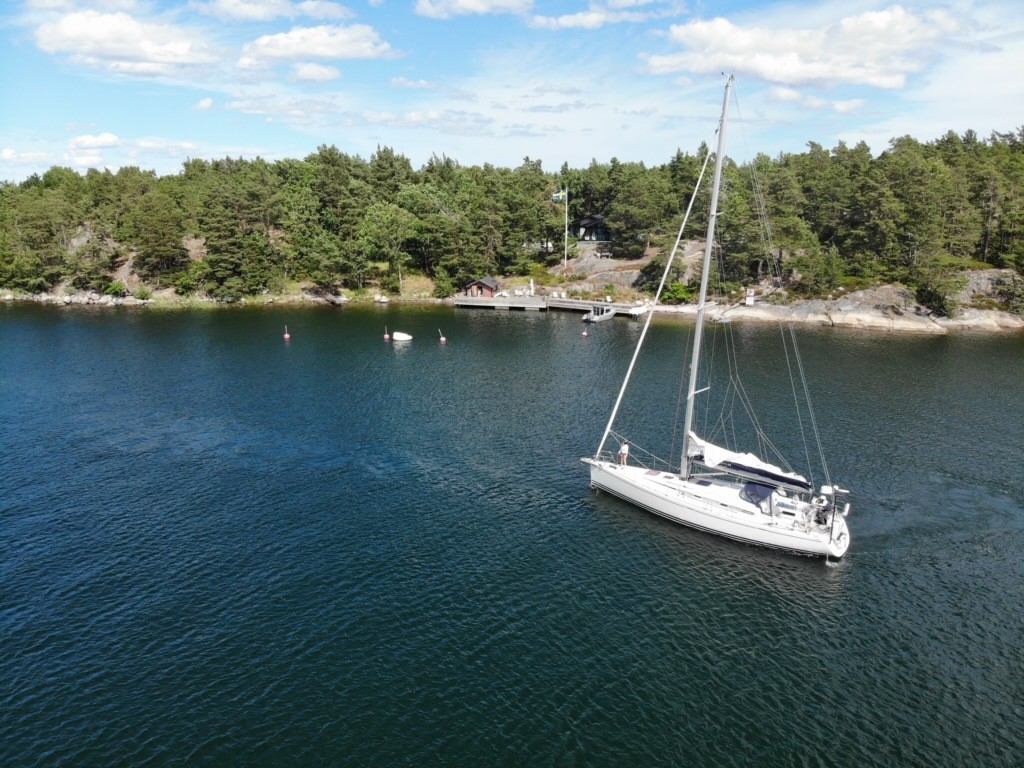
Crowdsourced bathymetry (CSB) is the collection and sharing of depth measurements from vessels, using standard navigation instruments, while engaged in routine maritime operations.
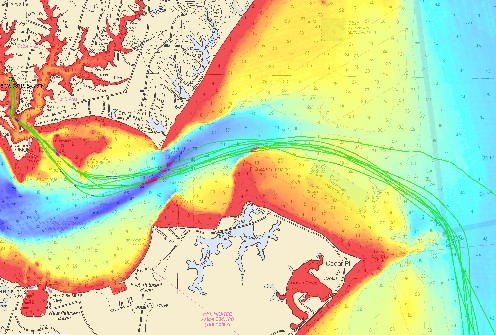
Crowdsourcing depth data provides an unprecedented opportunity to achieve a comprehensive and detailed map of the ocean floor. By involving a wide range of contributors, including research vessels, autonomous underwater vehicles, and recreational sailors, vast areas of coastal waters and the ocean can be covered. This collaborative approach generates improved bathymetric maps that unlock valuable insights into marine environments, facilitating scientific discoveries with far-reaching implications for conservation, resource management and our overall understanding of the world's oceans.
Bathymetry, a fundamental aspect of oceanography and hydrography, focuses on measuring and mapping the topography of the ocean floor. It encompasses the study of underwater depths, contours and features, providing crucial insights into seafloor formations such as mountains, canyons and ridges.
Participants can choose from a range of technology solutions which are inexpensive and work with existing navigation instruments and support the collection and contribution of data. This information can then be shared through dedicated platforms or applications, where it is collated and made available to the community via the IHO Data Center for Digital Bathymetry (DCDB) data viewer to be used for a variety of purposes.
More information on how to contribute and discover CSB data can be found at the IHO Data Centre for Digital Bathymetry.
Parties interested in participating in this initiative can write to bathydata@iho.int.
The IHO Crowdsourced Bathymetry Working Group manages these initiatives within the IHO.
Our oceans remain largely unexplored, with us only knowing roughly 25% of the seafloor to date. To support activities centered on the ocean, monitor any changes in the marine environment and implement effective initiatives for its sustainable use, it is critical to increase our knowledge. Crowdsourced depth data can help avoid ship groundings and accidents, making navigation safer for all. It also provides information on the shape of the seabed, which translates into knowledge on habitats for marine species. It can be used to better understand ocean currents and circulation, information which in turn can be used by scientists to improve models.
By providing depth data, you too can contribute to these global initiatives.


Share this page: