Search results
There are 353 results for “sea” in All
8th Session of the IMO Sub-Committee on Navigation, Communications and Search and Rescue Remote virtual meeting, 19 – 23 April
World Oceans Day video
How can mapping the seabed contribute to initiatives like the Ocean Decade? The IHO produced a video for World Oceans Day which highlights some of the ways hydrography can contribute to increasing our knowledge of the ocean.

21st Meeting of the Meso American & Caribbean Sea Hydrographic Commission (MACHC21) Video-teleconference (VTC), 30 November to 3 December
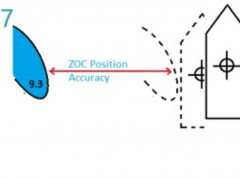
New guide on accuracy of depth information in Electronic Navigational Charts - ENCs
Data provided in electronic navigational charts can vary greatly in accuracy depending on when the sea survey to gather the data was carried out, the type of technology used, as well as the seafloor coverage.

Folleto de la OHI
Si desean información adicional, pueden acceder aquí al Folleto de la OHI.
ABLOS26 (2019)
26th Advisory Board on Law of the Sea (ABLOS) Business Meeting (7 & 10 October 2019) IHO Secretariat, Monaco
SCRUM
SUB-COMMITTEE ON REGIONAL UNDERSEA MAPPING (SCRUM)


