Search results
There are 97 results for “ https://www.galaxus.ch/en/sector/showdiscussion/hacksnapchat-visit-kunghaccom-55ca5t1y-222889” in All
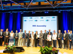
Historic Outcomes at 2026 Assembly: New Leadership, New Structures, and Global Standards
Representatives of the 104 IHO Member States reached decisions which will change the future of the organization during the 4th session of the Assembly. This triennial event held in Monaco saw crucial advancements in hydrography and international collaboration including the creation of a new entity, a new office, as well as new leaders.
ARHC and PAME Issue Joint Advisory Warning of Navigational Risks in a Rapidly Changing Arctic
The Arctic Regional Hydrographic Commission (ARHC) and the Arctic Council Working Group on the Protection of the Arctic Marine Environment (PAME) have officially released a joint advisory titled "Caution Required When Navigating in Arctic Waters.".
Mapping the Future: Fiji Hosts Pivotal Meetings on Ocean Mapping and Hydrography
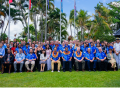
Suva & Nadi, Fiji — November 2024 Fiji became the epicenter of global ocean mapping, hydrographic collaboration and geospatial information management as it hosted a series of landmark meetings with a strong focus on Pacific engagement. From the 41st Meeting of the GEBCO Guiding Committee (GGC41) and the 6th Pacific Ocean Mapping Meeting to the subsequent UN workshops on geospatial frameworks and sustainable development, the events underscored the critical role of ocean and data governance for Pacific Island countries and territories.
The digital twin of the navigable waters: paving the way for e-navigation
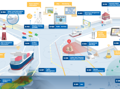
The maritime domain is in the midst of radical changes which will propel navigation forward and open a realm of new possibilities. These transformations will pave the way for e-navigation and autonomous shipping aiming to improve safety, efficiency and sustainable vessel operations. At the core of these transformations is the digital twin of navigable waters.
Understanding sea-level rise - improving predictions through studying the shape of the seabed
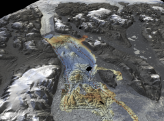
In many places around the world, data clearly shows the level of the sea is rising. In low lying coastal areas, even small increases when coupled with high tides and storm surges have had devastating consequences, such as altering coastlines, impacting offshore energy infrastructure and displacing populations. A better understanding of factors influencing sea level is vital in order to prepare for and mitigate its impacts.
Guidance on use of satellites to gather depth data
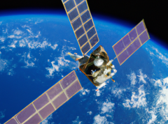
The IHO has published the first “Satellite-Derived Bathymetry Best Practice Guide” for the hydrographic community. The new document provides an overview of methods and factors to consider when applying SDB to map shallow coastal environments.
New IHO Director presents his background & future objectives
Following the elections during the 3rd session of the IHO Assembly, Dr. John Nyberg has formally taken up his role as IHO Director at the Secretariat in Monaco. In order to get to know him better, we asked him questions about his background and aspirations for his tenure at the IHO Secretariat.
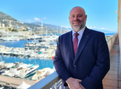
The international community gathers in Monaco for the IHO Assembly
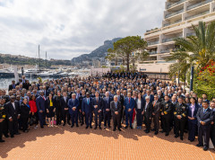
Representatives of the International Hydrographic Organization Member States, observers, and private sector, gathered in Monaco from May 1-5, 2023. The Assembly provided a forum to come together, discuss new developments in technical standards, and ocean mapping, and agree on resolutions to guide activities. Key decisions this year included the future of nautical charts and steps to ensure the ongoing transition to digital products and data services.
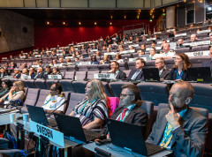
The Arctic Regional Hydrographic Commission reviews its activities in 2022
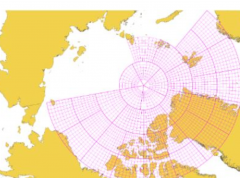
The ARHC has prepared a summary of activities for the past year which includes an update on the development of a pan-Arctic nautical grid and access to data and discusses the IHO roadmap for the implementation of S-100 based services, which will contribute to safety of navigation, environmental protection, and cost efficiencies.