Winner of the 2026 Ex Abyssis ad Alta IHO Award Announced
The recipient of the 2026 Ex Abyssis ad Alta Award for Hydrographic Excellence is a true combination of intelligence, competence, and kindness.
World Hydrography Day 2026: Transforming How Ocean Data Is Shared
Every year on 21 June, the International Hydrographic Organization (IHO) and its Member States celebrate World Hydrography Day, highlighting the vital role hydrography plays in improving our understanding of the ocean and supporting its safe, sustainable, and productive use.
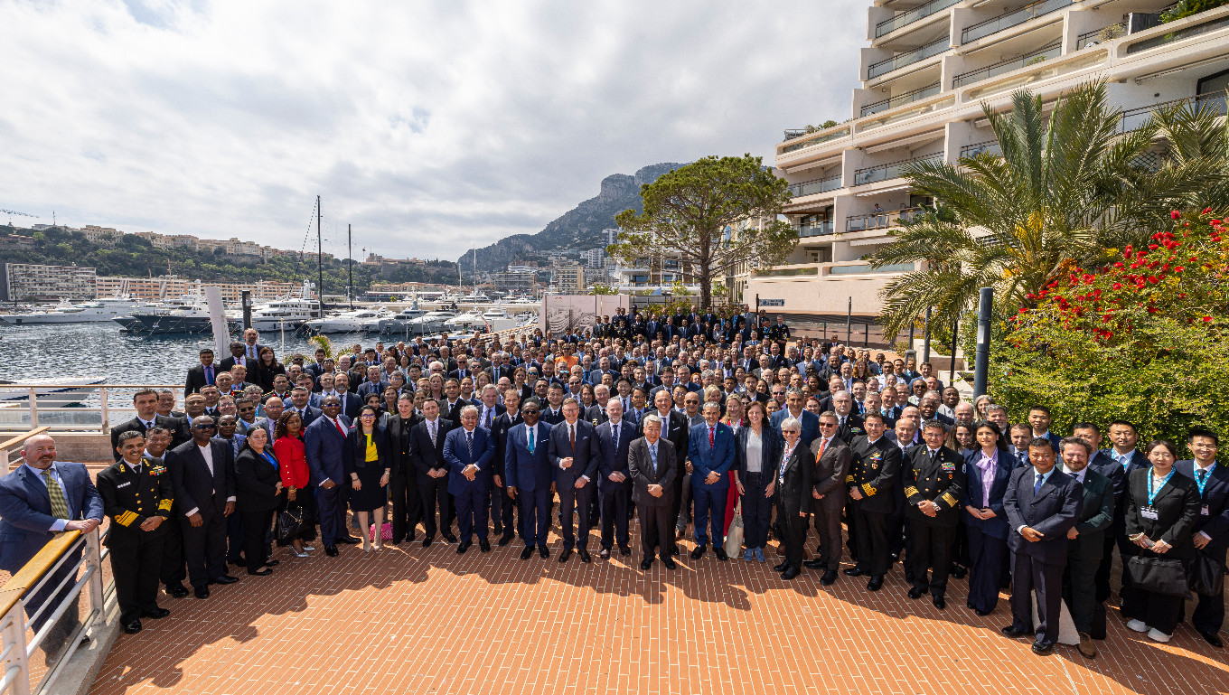
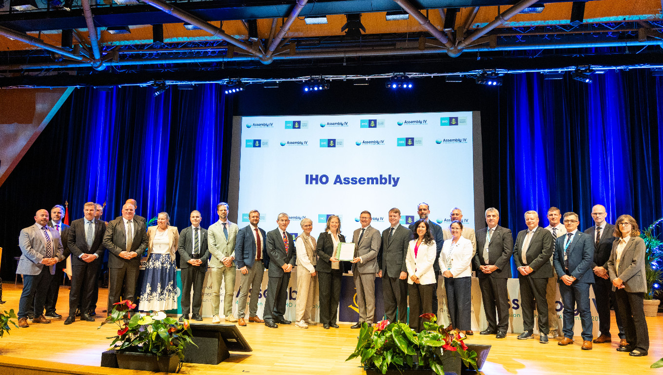
Historic Outcomes at 2026 Assembly: New Leadership, New Structures, and Global Standards
Representatives of the 104 IHO Member States reached decisions which will change the future of the organization during the 4th session of the Assembly. This triennial event held in Monaco saw crucial advancements in hydrography and international collaboration including the creation of a new entity, a new office, as well as new leaders.
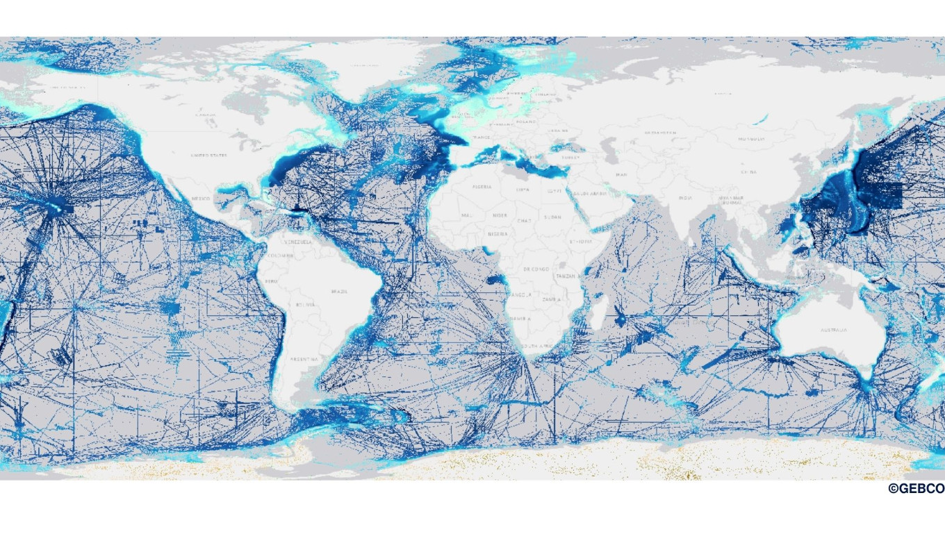
Global seabed mapping reaches new milestone as five million square kilometres added in a year
The Nippon Foundation-GEBCO Seabed 2030 Project announced that 28.7% of the world’s ocean floor has now been mapped, with almost five million square kilometres of data added over the past year.
ARHC and PAME Issue Joint Advisory Warning of Navigational Risks in a Rapidly Changing Arctic
The Arctic Regional Hydrographic Commission (ARHC) and the Arctic Council Working Group on the Protection of the Arctic Marine Environment (PAME) have officially released a joint advisory titled "Caution Required When Navigating in Arctic Waters.".
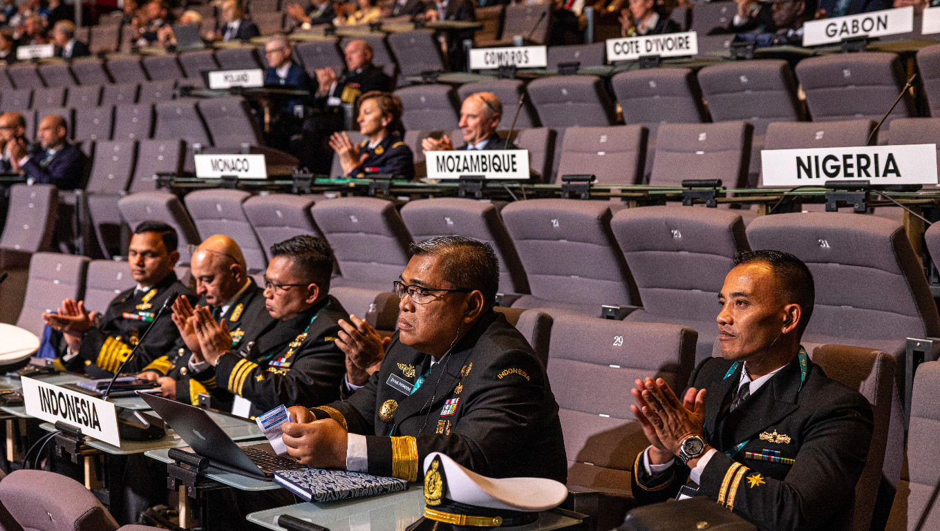
Global hydrographic community to gather in Monaco for pivotal International Hydrographic Organization Assembly
Government representatives, maritime authorities, international organizations, and industry leaders from across the world will gather in Monaco from 20 to 23 April 2026 for the Assembly of the International Hydrographic Organization (IHO), the principal global forum for decisions on hydrography, seabed mapping, and maritime data standards.
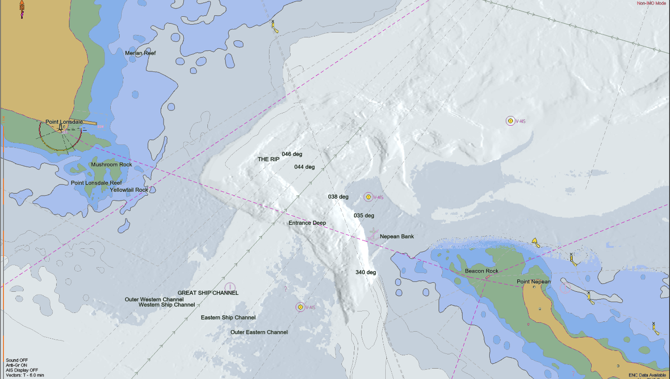
The S-100 framework is now operational
A significant step in the implementation of the S-100 ecosystem was officially achieved in January 2026, when the Phase 1 S-100 product specifications entered into force. Stakeholders can now access and use the operational version of these specifications in real-world environments.
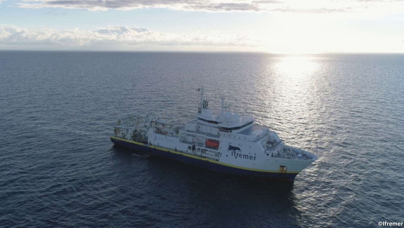
Funded Opportunities for Training & Sea Survey Experience
As part of its ongoing commitment to strengthening hydrographic capacity worldwide, the IHO is pleased to share that several fully-funded opportunities for training and hands-on survey experience are currently open for applications, including a call to participate in a trans-Atlantic hydrographic survey.
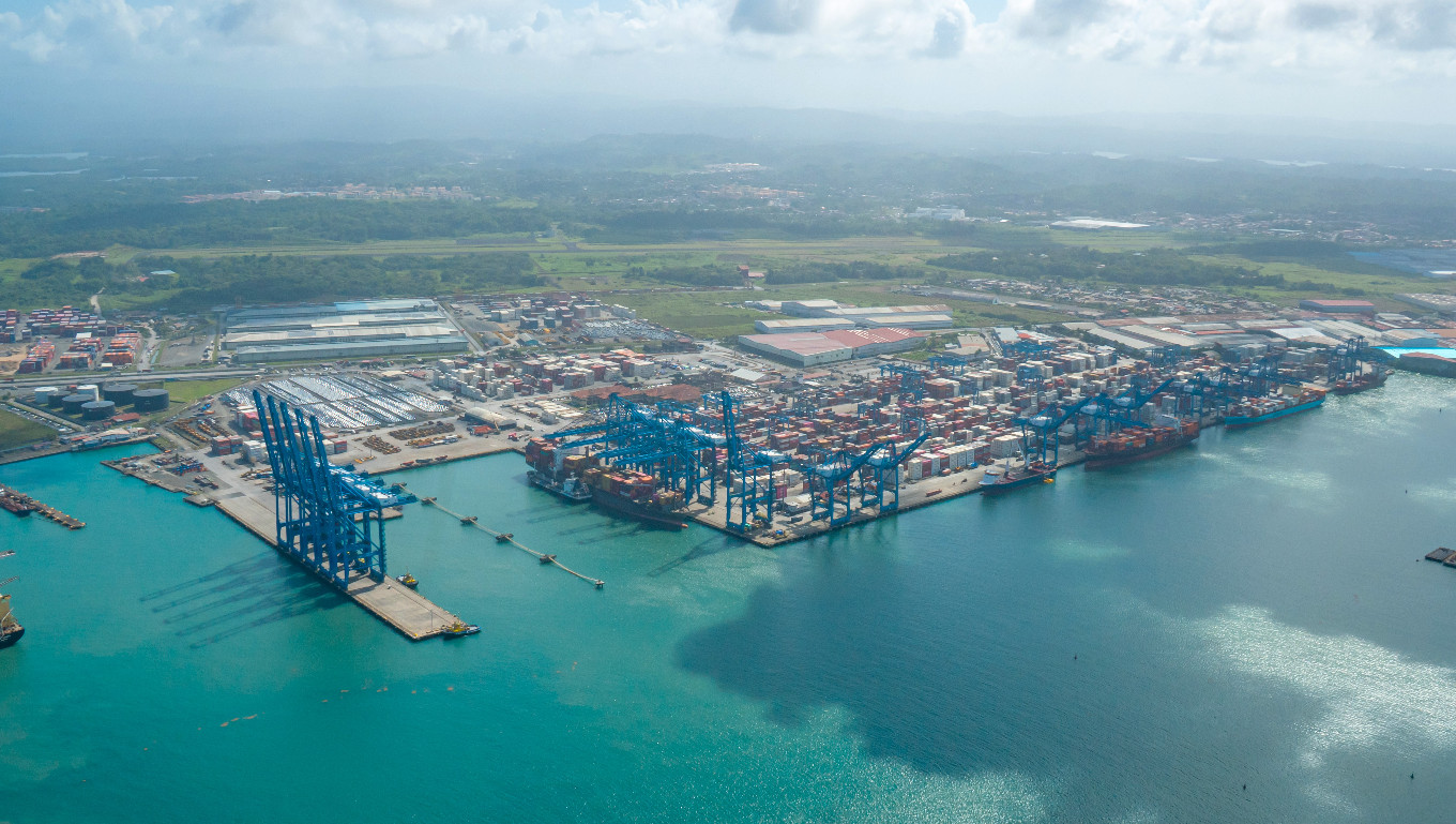
Major Flag State Joins the International Hydrographic Organization
The global hydrographic community expanded in January 2026 with the accession of Panama to the International Hydrographic Organization (IHO), marking a significant milestone for international maritime cooperation. As one of the world’s major flag states and a strategic hub for global shipping, Panama’s membership is expected to strengthen hydrographic capacity and standards worldwide.


