Search results
There are 939 results for “capitulo 1 docx” in All
Basic PT Documents
Basic PT Documents
Documents
Documents
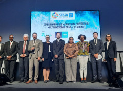
Hydrography discussed at the UN Ocean Conference
The IHO organized a side event on the role of marine data to help address the competing needs of a broad range of ocean stakeholders at the UN Ocean Conference in Lisbon on 28 June 2022. With many sessions during the week highlighting the need for baseline data and ocean mapping to support decision-making, this side event enabled panellists to draw attention to the central role hydrography can play in these endeavours.
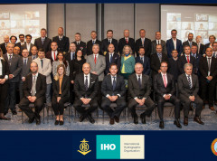
Inter-Regional Coordination Committee discusses strategic IHO endeavours
The Inter-Regional Coordination Committee (IRCC) met last week in Denpasar, Bali to review progress and next steps for the Regional Hydrographic Commissions and various thematic working groups. Hosted by Pushidrosal, the Hydrographic and Oceanographic Centre of the Indonesian Navy, it provided a forum to discuss ocean mapping, nautical cartography, capacity-building, etc. as well as to identify actions to be taken at regional and global levels.
RSAHC Letters
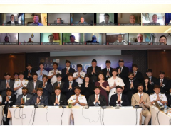
Mediterranean and Black Sea countries discuss charting in the region
The 23rd Conference of the Mediterranean and Black Seas Hydrographic Commission (MBSHC) took place in Slovenia end of March. Coastal states discussed coordination of charting in the region, governance and capacity-building among others.