Search results
There are 1137 results for “” in All
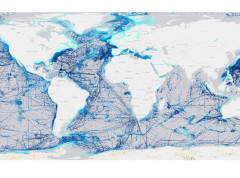
IHO 100 Years
The International Hydrographic Organization (IHO) turned 100 on 21 June 2021, with an on-site celebration in Monaco which was broadcast live online.
TWCWG6 (2022)
6th Tides, Water Level and Currents Working Group (TWCWG6) VTC 5 - 7 April 2022
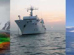
WWNWS13 (2021)
13th Meeting of World Wide Navigational Warning Service Sub-Committee (WWNWS13) IHO, Monaco, 30 August - 3 September 2021
HSWG Letters
HSWG Letters will be available here for consultation
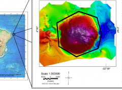
Guidelines for the Standardisation of Undersea Feature Names Available in Portuguese
The IHO has released an English /Portuguese version of the guidelines for the Standardisation of Undersea Feature Names (IHO publication B-6). These guidelines explain the process to submit proposals for undersea features names and provide necessary information for them to be adopted by the GEBCO Sub-Committee on Undersea Feature Names (SCUFN). This English /Portuguese version is the result of a productive cooperation and input from Brazil (DHN) and Portugal (IHPT).
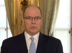
HSH Prince Albert II opening remarks to the Assembly
HSH Prince Albert II of Monaco officially opened the IHO Assembly which is taking place 16 to 18 November by videoconference.
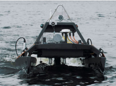
World Hydrography Day
The IHO has released a new video for World Hydrography Day which highlights the relationship between hydrography and autonomous technologies. This includes aerial, surface and underwater survey drones as well as autonomous ships.
New IHO guidelines for hydrographic geospatial data
The IHO has published new guidelines for the development of product specifications for the creation of hydrographic geospatial data.
SCOPE2
Remote meeting hosted by IOC, Paris, France - 11 to 15 January 2021 (Online Symposium/Seabed 2030 - 11-15 January 2021)