Search results
There are 349 results for “sea” in All
Seabed Mapping: Enabling Ocean Action - World Hydrography Day 2025
Seabed mapping supports all activities centred on the ocean, from safety of navigation to marine conservation, marine renewable energy, coastal resilience, and the ocean economy. This includes charting new shipping routes in polar regions to providing up-to-date data to improve climate change models.
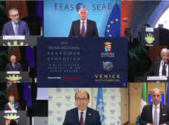
The XIII Trans-Regional Seapower Symposium discusses hydrography’s role in a sustainable Blue Economy
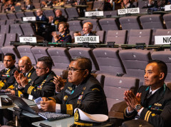
The IHO participated in the XIII Trans-Regional Seapower Symposium held in Venice, Italy from 5-7 October to discuss the IHO’s tasks, mission and challenges within the UN Ocean Decade. Organized by the Italian Navy and hosted in the historical setting of the Arsenal of Venice, the symposium provided an open and inclusive forum where navies, industries, public institutions, academia and international organizations engaged in across-the-board debates involving the diverse community of players in the national and international marine cluster.
Participants in GEBCO week discuss seafloor mapping and knowledge of the oceans
Over 600 participants from 80 countries gathered online as part of the GEBCO Week to discuss initiatives to map the seafloor and increase our knowledge of the oceans.
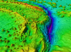
Understanding sea-level rise - improving predictions through studying the shape of the seabed
In many places around the world, data clearly shows the level of the sea is rising. In low lying coastal areas, even small increases when coupled with high tides and storm surges have had devastating consequences, such as altering coastlines, impacting offshore energy infrastructure and displacing populations. A better understanding of factors influencing sea level is vital in order to prepare for and mitigate its impacts.
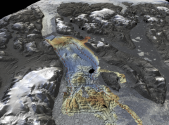
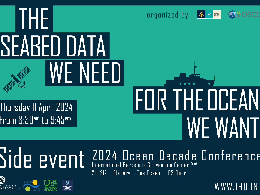
UN Ocean Decade Conference
The IHO and the OECD are co-hosting a satellite event during the UN Ocean Decade conference in Barcelona. Entitled "The Seabed Data We Need for the Ocean We Want," this session aims to look at the importance of advancing our understanding of the ocean and fostering increased investment in related activities.
- 11 April 2024
- 8:30am to 9:45am
MSDIWG
SAIHC MSDI Seabed2030 VTC Meeting 2nd February 2021
IHO C-55
The purpose of IHO C-55 Publication (available here) "Status of Hydrographic Surveying and Charting Worldwide" is to provide base data for governments and supporting international organizations as they consider the best means by which to implement responsibilities set out in Chapter V, Regulation 9, of the Safety of Life at Sea (SOLAS) Convention. It also informs IHO input to the United Nations Global Maritime Assessment.
ROPME Sea Area HC
Global hydrographic community to gather in Monaco for pivotal International Hydrographic Organization Assembly
Government representatives, maritime authorities, international organizations, and industry leaders from across the world will gather in Monaco from 20 to 23 April 2026 for the Assembly of the International Hydrographic Organization (IHO), the principal global forum for decisions on hydrography, seabed mapping, and maritime data standards.