Search results
There are 1117 results for “” in All
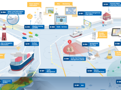
The digital twin of the navigable waters: paving the way for e-navigation
The maritime domain is in the midst of radical changes which will propel navigation forward and open a realm of new possibilities. These transformations will pave the way for e-navigation and autonomous shipping aiming to improve safety, efficiency and sustainable vessel operations. At the core of these transformations is the digital twin of navigable waters.
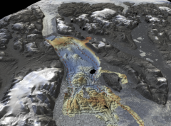
Understanding sea-level rise - improving predictions through studying the shape of the seabed
In many places around the world, data clearly shows the level of the sea is rising. In low lying coastal areas, even small increases when coupled with high tides and storm surges have had devastating consequences, such as altering coastlines, impacting offshore energy infrastructure and displacing populations. A better understanding of factors influencing sea level is vital in order to prepare for and mitigate its impacts.
Guidance on use of satellites to gather depth data
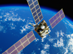
The IHO has published the first “Satellite-Derived Bathymetry Best Practice Guide” for the hydrographic community. The new document provides an overview of methods and factors to consider when applying SDB to map shallow coastal environments.
Meetings
List of EAHC meetings
Meetings
List of S-101 Project Team Meetings
Contributing CSB Data
Participants can provide CSB data contributions to the IHO’s Data Centre for Digital Bathymetry (DCDB) through organizations, companies or universities that serve as data aggregators and / or liaisons. These “Trusted Nodes” can help supply data logging equipment or software, provide technical support to vessels, download data from data loggers, aggregate collected data and facilitate data transfer. The DCDB will help identify the best-suited “trusted node” type for you.
IHO Crowdsourced Bathymetry Initiative
The International Hydrographic Organization (IHO) has a long history of encouraging the collection of crowdsourced depth data to help improve humanity’s understanding of the shape and depth of the seafloor. For over a century, maps of the ocean floor were created from depth measurements collected by vessels as they journeyed across the oceans. These “passage soundings” enabled the creation of progressively more detailed seafloor maps and digital data grids. Recently, systematic surveys with specialized ships have contributed to greatly increasing available data. Unfortunately, despite the multitude of data that has been collected, to this day only 25% of the world’s ocean depths have been measured; the rest of the data used to compile seafloor maps are estimated depths.
S-130PT Meetings
Lists of S-130 Project Team Meetings
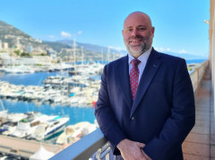
New IHO Director presents his background & future objectives
Following the elections during the 3rd session of the IHO Assembly, Dr. John Nyberg has formally taken up his role as IHO Director at the Secretariat in Monaco. In order to get to know him better, we asked him questions about his background and aspirations for his tenure at the IHO Secretariat.
