Search results
There are 239 results for “sea” in All
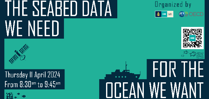
UN Ocean Decade Conference
The IHO and the OECD are co-hosting a satellite event during the UN Ocean Decade conference in Barcelona. Entitled "The Seabed Data We Need for the Ocean We Want," this session aims to look at the importance of advancing our understanding of the ocean and fostering increased investment in related activities.
S-130 PT
Polygonal Demarcations of Global Sea Areas Product Specification and Dataset (S-130) Project Team
NIPWG - Bringing Land and Sea Together (BLAST) - SNPWG Participation.
Standardization of Nautical Publications Information Working Group (SNPWG) Information Page (In English Only)
North Sea HC
Why CSB ?
Participating in the CSB Initiative benefits both those collecting the data and the communities of data users. These data contribute to increasing our knowledge, information which supports local regional and global initiatives in favour of the sustainable use of the oceans. They can also contribute to improved knowledge of seabed topography and better bathymetric maps or hydrographic charts in previously uncharted areas or areas lacking accurate data. This in turn can help avoid groundings and make navigation safer for all.
Baltic Sea HC
Importance of Hydrography
Definition of Hydrography Hydrography is the branch of applied sciences which deals with the measurement and description of the physical features of oceans, seas, coastal areas, lakes and rivers, as well as with the prediction of their change over time, for the primary purpose of safety of navigation and in support of all other marine activities, including economic development, security and defence, scientific research, and environmental protection. In addition to supporting safe and efficient navigation of ships, hydrography underpins almost every other activity associated with the sea, including: - resource exploitation - fishing, minerals,.. - environmental protection and management - maritime boundary delimitation - national marine spatial data infrastructures - recreational boating - maritime defence and security - tsunami flood and inundation modelling - coastal zone management - tourism - marine science
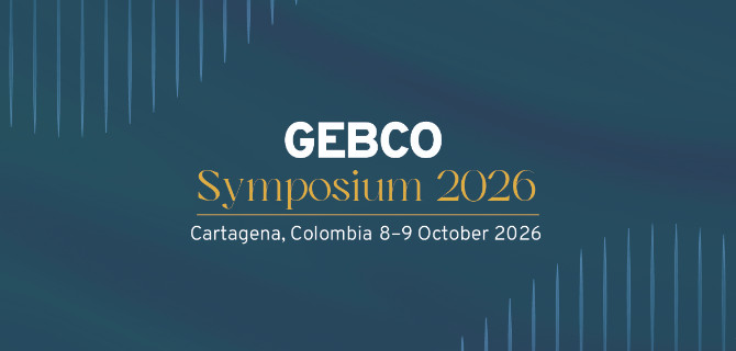
GEBCO Symposium 2026
The upcoming GEBCO Symposium, to be held in Cartagena, Colombia, will bring together the global ocean community to exchange knowledge, inspire collaboration, and advance our collective understanding of the seabed and the ocean environment.
MEETINGS AFTER 2024
List of the Meso American & Caribbean Sea Hydrographic Commission Meetings Note: To access the meeting page, you'll need an IHO Portal account. If you don't have one yet, don't worry! Creating an account is easy. Simply follow the instruction provided at the link here to set up your account and gain access to the meeting page. Click the IHO Portal to get started