IHO-Nippon Foundation GEOMAC Project
![]()
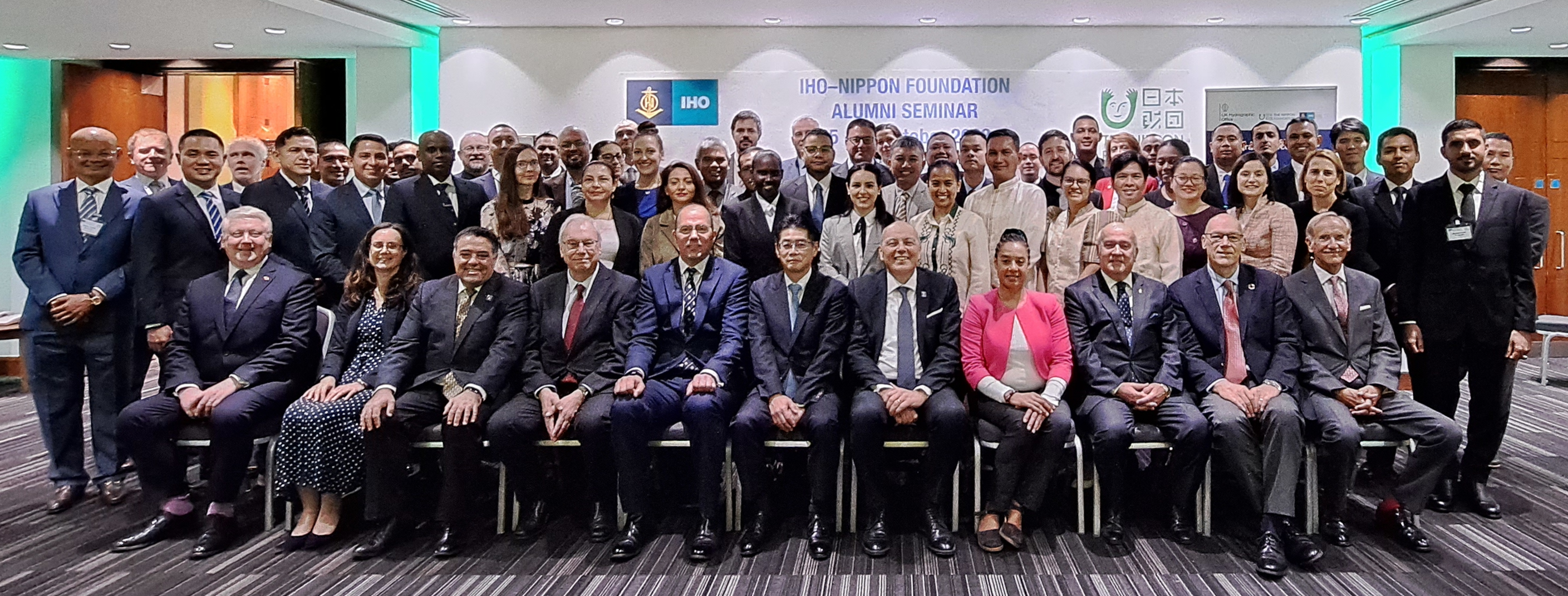
The IHO-Nippon Foundation Cooperation Project has been providing training opportunities for Category “B” nautical cartographers at the UK Hydrographic Office (UKHO) for over 17 years.
The project originally started as the Japan Capacity Building Project (JCBP) in 2009-2013 and the Cartography, Hydrography and Related Training (CHART) Project in 2014-2019, and has now become the Geospatial Marine Analysis and Cartography (GEOMAC) Project since 2020, thanks to the generous support from the Nippon Foundation of Japan.
This capacity building project has connected the nautical cartography community, which currently has 112 alumni from 52 countries. The skills and knowledge of this community contribute to solving regional and global challenges beyond the SOLAS obligations.
For more information on this project, please see the following IHR note (PDF file) :
- Sumiyoshi, M., Matsumoto, K., Manteigas, L., & Fieldhouse, L. (2024). Overview of the IHO–Nippon Foundation GEOMAC project and its evolution over 15 years. The International Hydrographic Review, 30(2). https://doi.org/10.58440/ihr-30-2-n11.
What is GEOMAC Project?
The GEOMAC project has provide an annual training programme for nautical cartographers, delivered by the experienced instructors from the UKHO in Taunton, UK, and other institutions. Currently, 7 participants are selected each year for the 5-month training programme.
The core of the programme has been recognized by the FIG/IHO/ICA International Board on Standards of Competence for Hydrographic Surveyors and Nautical Cartographers (IBSC) since 2014. After completing the programme, the participants will obtain the competencies to carry out nautical cartographic tasks at the Category "B" level.
What for?
The purpose of the GEOMAC Project is to provide appropriate education and training in Nautical Cartography for technical personnel in developing countries, to develop and enhance skills and knowledge in navigational chart production (paper chart and ENC).
In addition, due to the rapid change of technology in Hydrography and Nautical Cartography, necessary competences, skills and knowledge for practitioners has been consistently upgraded and the curriculum, therefore, includes a cutting-edge module for marine big-data management with the utilization of the Artificial Intelligence serving Marine Spatial Data Infrastructures (MSDI) as the realm of Nautical Cartographers.
The GEOMAC also aims to develop a fellowship among the participants in the course to create a human resource network through the alumni of the GEOMAC Project and its predecessors.
Achievement
The impact of the eleven-year achievement of the CHART Project and its predecessor has been quantitatively measured using the IHO Publication C-55 "Status of Hydrographic Surveying and Nautical Charting Worldwide". The countries that have alumni have increased their charting coverage far better than those countries without alumni, as presented in document CBSC17.08.4B.
Related website
Special contributions from external donors, a sub-page of Capacity Development & Technical Cooperation on the IHO website.


Share this page: