Search results
There are 77 results for “sea” in All
Global hydrographic community grows with 100th country joining the IHO
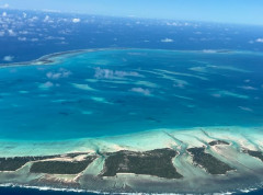
The Republic of Kiribati has officially become the 100th Member State of the International Hydrographic Organization (IHO), marking a significant milestone for the global hydrographic community. This historic landmark opens up numerous benefits of being an IHO Member State, from helping carry out obligations under the SOLAS Convention, to enhancing safety of navigation, maritime security, fisheries management, economic growth, environmental protection, and climate resilience.
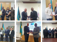
The IHO visits the Commonwealth of the Bahamas
On invitation of the Bahamian Ministry of Foreign Affairs, IHO Director Luigi Sinapi paid a High Level Visit to the Commonwealth of The Bahamas from 15 to 19 April. The Visit was aimed at resuming discussions on the Bahamas’ potential membership to the International Hydrographic Organization and on the progress made in the maritime sector of The Bahamas, to further strengthening the national capacity in the area of hydrography and improving the current Bahamian Maritime National Policy.
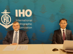
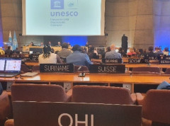
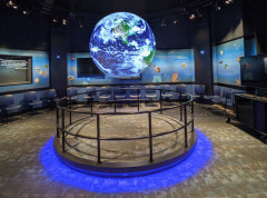
The importance of mapping the ocean is highlighted at the 32nd Session of the IOC UNESCO Assembly
As part of its mission to “participate actively in international initiatives related to the knowledge of the sustainable use of the ocean,” the IHO participated in the 32nd Session of the IOC UNESCO Assembly held in Paris, France from 21-30 June 2023. In addition to engaging in plenary discussions in its role as an Observer, the IHO joined IOC UNESCO in celebrating the 120th anniversary of their joint project, the General Bathymetric Chart of the Oceans (GEBCO).
Representatives of 98 countries to gather in Monaco for the IHO Assembly
Representatives of the 98 Member States of the International Hydrographic Organization will gather for the Assembly, Member State and Industry Exhibition from 1 to 5 May 2023. Held every three years, the gathering provides a forum for countries to come together, discuss new developments in technical standards, ocean mapping and agree on resolutions to guide activities. Key topics this year will include the future of charts and steps to ensure the transition to digital data systems.
The IHO welcomes its 98th Member State
The International Hydrographic Organization is increasing its ranks with the accession of Albania as its 98th Member State.
The European Commission and the IHO celebrate 10 years of fruitful cooperation
On 6 May 2022, the European Commission and the International Hydrographic Organization (IHO) celebrated the Tenth Anniversary of the Memorandum of Understanding between the two Organizations at the headquarters of the European Union's DG Mare.
New editor for the International Hydrographic Review
The International Hydrographic Review, the scientific journal published by the IHO, has a new editor. Dr Patrick Westfeld began his new functions on 5 January 2022. He brings with him solid technical knowledge, coupled with good experience with academia and scientific publishing.

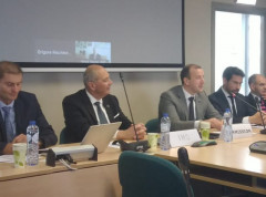
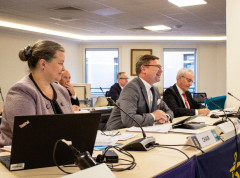
IHO Member States gather for Council meeting
IHO Member States gathered this week as part of the 5th meeting of the Council. Presided by Geneviève Béchard of Canada, participants were able to take stock on progress and discuss next steps on several key actions such as the roadmap for S-100 implementation and the future conversion from S-57 to S-101 ENCs.
Ocean Decade S-100 Webinar
The IHO Universal Data Model S-100 is like lego blocks for data. This is how Secretary General Dr Mathias Jonas described S-100 during an IHO webinar organized as part of the Ocean Decade Laboratories “A Predicted Ocean”.