Progress on Hydrographic Standards and Services
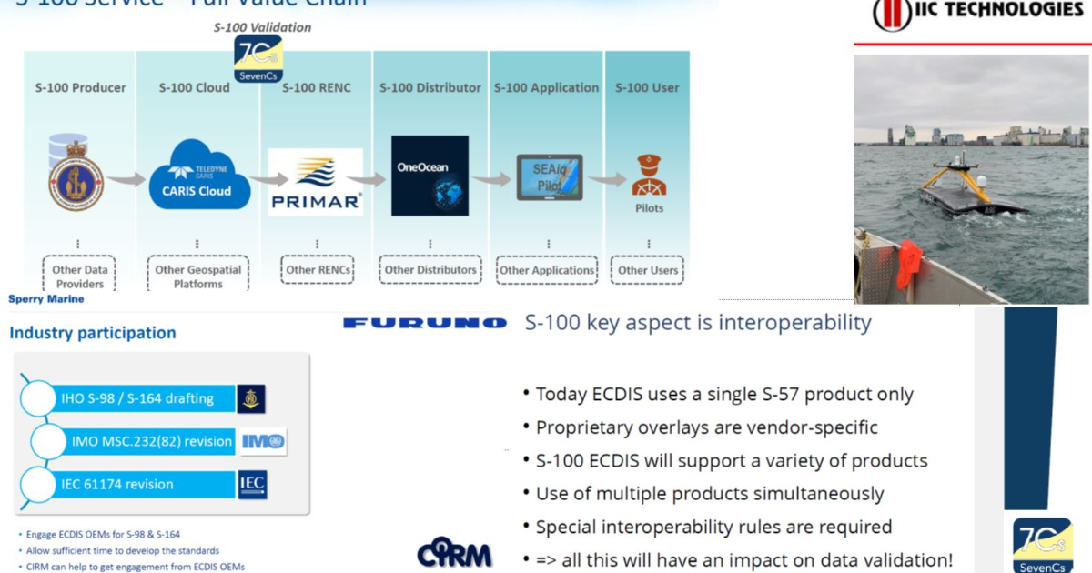
On 3 May 2021 a 3-day meeting spanning across all time zones began, with sessions starting at 01:00 in the morning for some, ending at 3:00 AM. for others, 120 participants, 29 IHO Member States from Asia, Americas, Europe, Middle-East, South Pacific, 5 NGIOS, 8 industry partners, user representatives… 12 working groups and project teams, an enlightening stakeholders’ session on the theme “Requirements and suggestions for the S-100 Implementation Decade in Navigation Systems – An industry and user perspective”, and more than 20 hydrographic existing and future standards under the spotlight, more than 70 decisions and actions to move forward - that was the 13th annual meeting of the IHO Hydrographic Services & Standards Committee chaired by M. Magnus Wallhagen, from the Swedish Maritime Authority.
The BGR provides high resolution data for the Pacific and Indian Oceans
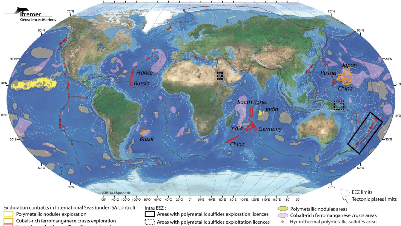
The German Federal Institute for Geosciences and Natural Resources (BGR) is participating in the IHO-led efforts to increase knowledge of the ocean and has shared high resolution depth data for the German contract areas for deep-sea exploration granted by the International Seabed Authority (ISA) in the Pacific and Indian Oceans. The BGR provided gridded data for 85.000 km² at a resolution of 120 x 120 meters.
Crowdsourced Bathymetry Working Group Discusses How to Increase Available Data
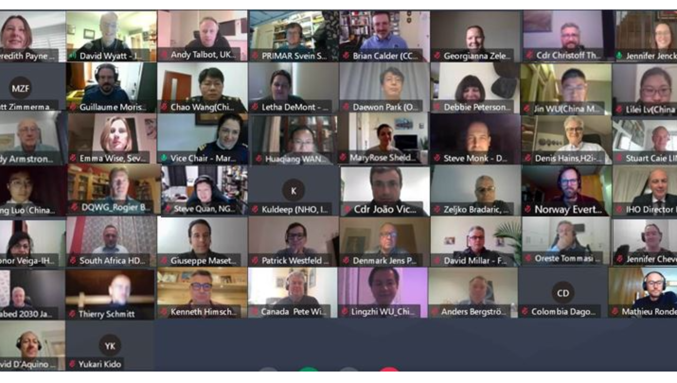
The IHO Crowdsourced Bathymetry Working Group (CSBWG) held its 10th meeting last week. 56 IHO Member State and stakeholder representatives gathered online to discuss how to increase crowdsourced data around the world and address data quality in the Great Barrier Reef, the Canadian Arctic coast, Japan and China as well the super yacht, commercial survey and private chart sectors.

IHO and CIESM renew their cooperation
IHO and CIESM have renewed their Scientific Cooperation Agreement for the next 4 years. This will provide a framework for active cooperation between the two intergovernmental organizations dedicated to marine science.
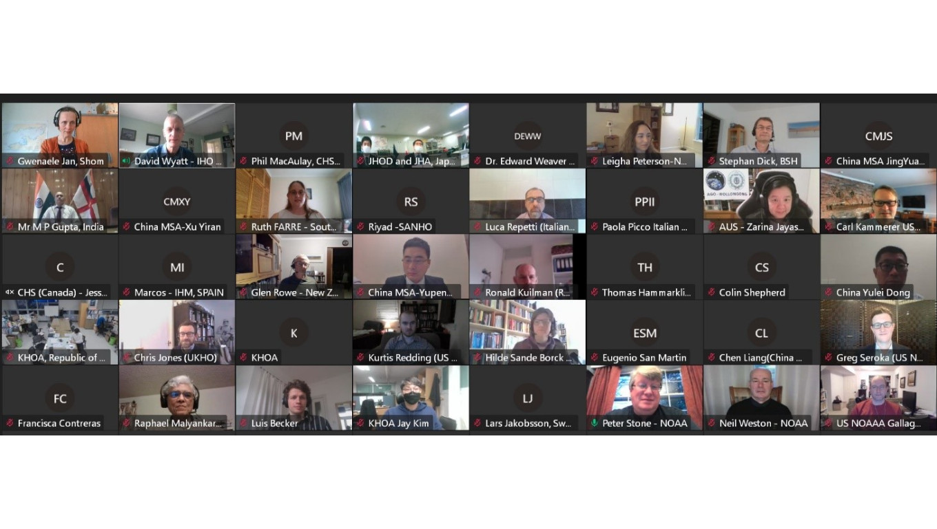
Meeting of the IHO Tides, Water Level and Currents Working Group
The IHO Working Group tasked to monitor and develop the use of tidal, water level and current information as well as to advise on their observation, analysis and prediction, held its 5th meeting 16-18 March.

Legacy website and other services unavailable
Following a fire at one of the IHO web hosting service providers, the IHO legacy website, the S-100 website, and some documents on the IHO website are currently unavailable.
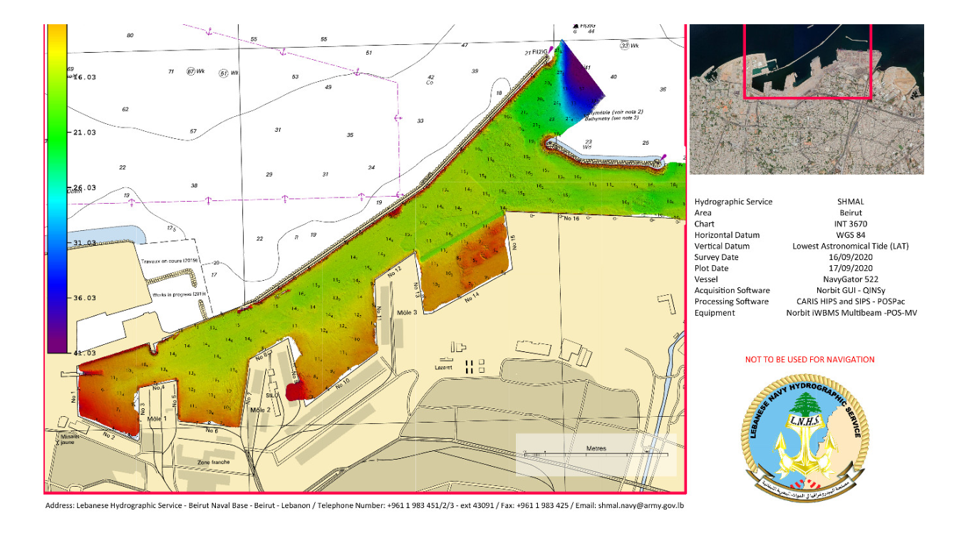
Lebanon joins the IHO
Lebanon has joined the International Hydrographic Organization. By becoming its 94th Member State, Lebanon will benefit from the organization’s resources and expertise in order to improve safety of navigation and contribute to the development of its maritime activities.

New chair & vice chair of GEBCO Guiding Committee
Members of the GEBCO Guiding Committee met online 18-20 January to discuss the project’s direction for the coming year, including upcoming initiatives, resource allocation etc. During the meeting, members elected Mr Evert Flier from Norway as the new chair of the Guiding Committee, and Dr Marzia Rovere from Italy as vice chair for 2021 – 2024.
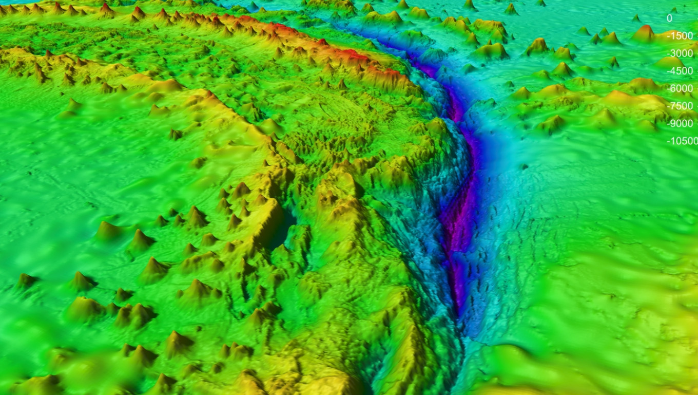
Participants in GEBCO week discuss seafloor mapping and knowledge of the oceans
Over 600 participants from 80 countries gathered online as part of the GEBCO Week to discuss initiatives to map the seafloor and increase our knowledge of the oceans.
