Search results
There are 96 results for “” in All
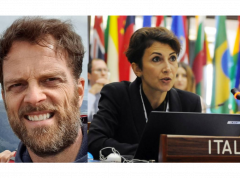
Naming undersea features using the same system as the stars discussed during SCUFN meeting
With this year seeing a new record number of proposals to name undersea features, members of the GEBCO Sub Committee on Undersea Feature Names (SCUFN) discussed ways to deal with increasingly large numbers of proposals but also how to safeguard data on features in disputed areas.
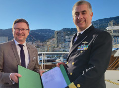
IHO and NOAA Reaffirm their Commitment to Ocean Data with a New MoU
During the 2023 International Hydrographic Organization (IHO) Assembly, Secretary General Dr. Mathias Jonas announced the signing of a Memorandum of Understanding with the United States’ National Oceanic and Atmospheric Administration (NOAA). NOAA has supported the IHO since 1990 by hosting the IHO Data Center for Digital Bathymetry (DCDB), an online, open-access database that stores ocean depth data from around the world.
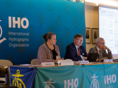
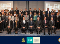
Transition to digital data services and other priorities discussed at IHO Council
Representatives of 26 countries sitting on the IHO Council and Observers gathered last week in Monaco to review the work carried out and establish priorities for the coming years. This included progress with the transition to digital data services through the implementation of S-100, the Universal Digital Data Model, as well as hydrography’s contribution to global initiatives such as the Digital Twin of the Ocean.
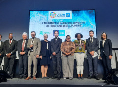
Hydrography discussed at the UN Ocean Conference
The IHO organized a side event on the role of marine data to help address the competing needs of a broad range of ocean stakeholders at the UN Ocean Conference in Lisbon on 28 June 2022. With many sessions during the week highlighting the need for baseline data and ocean mapping to support decision-making, this side event enabled panellists to draw attention to the central role hydrography can play in these endeavours.
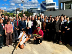
Inter-Regional Coordination Committee discusses strategic IHO endeavours
The Inter-Regional Coordination Committee (IRCC) met last week in Denpasar, Bali to review progress and next steps for the Regional Hydrographic Commissions and various thematic working groups. Hosted by Pushidrosal, the Hydrographic and Oceanographic Centre of the Indonesian Navy, it provided a forum to discuss ocean mapping, nautical cartography, capacity-building, etc. as well as to identify actions to be taken at regional and global levels.
How to Participate in World Hydrography Day
Celebrated on 21 June, World Hydrography Day is designed to raise awareness about hydrography and how it plays a role in improved knowledge of the seas and oceans.
Mediterranean and Black Sea countries discuss charting in the region
The 23rd Conference of the Mediterranean and Black Seas Hydrographic Commission (MBSHC) took place in Slovenia end of March. Coastal states discussed coordination of charting in the region, governance and capacity-building among others.
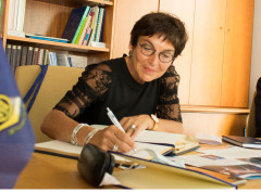
The French Minister for the Sea visits the IHO
Mrs Annick Girardin, French Minister for the Sea, came to the offices of the IHO during an official visit to the Principality of Monaco on Friday 10 September. The Minister was accompanied by H.E. Mr Laurent Stéfanini, Ambassador of France to Monaco as well as other government representatives.
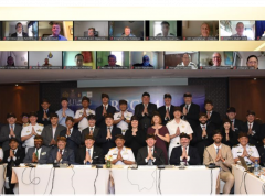
New chair & vice chair of GEBCO Guiding Committee
Members of the GEBCO Guiding Committee met online 18-20 January to discuss the project’s direction for the coming year, including upcoming initiatives, resource allocation etc. During the meeting, members elected Mr Evert Flier from Norway as the new chair of the Guiding Committee, and Dr Marzia Rovere from Italy as vice chair for 2021 – 2024.